
Related Images


This image was acquired from
wikimedia. It was marked as Public Domain or CC0 and is free to use. To verify, go to the source and check the information there.
Looking for more info about this image?
Try a Google Reverse Image Search for it.
Try a Google Reverse Image Search for it.
Keywords from Image Description:
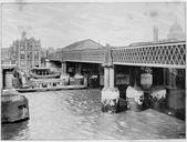
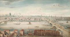
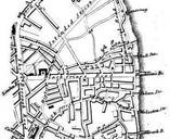
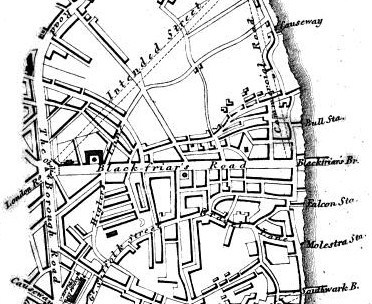
Blackfriars Bridge Area . en Cropped map from of David Hughson Walks through London vol showing an area on London south of the Thames West is approximately at the top of the map which shows an area around the southern end of Blackfriars Bridge google co uk id AxAHAAAAQAAJ pg PA Unknown artist PDold Maps of the London Borough