
Related Images

Download:
| Tiny | 158x128 | View | Download |
| Small | 316x256 | View | Download |
| Medium | 632x512 | View | Download |
| Original png | 968x784 | View | Download |
| Original as jpg | 968x784 | View | Download |
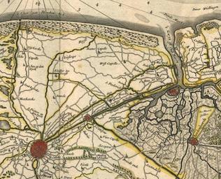
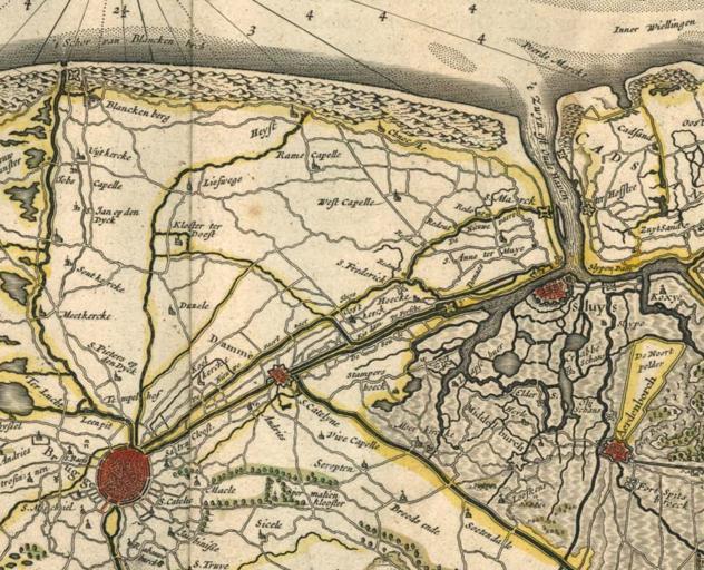
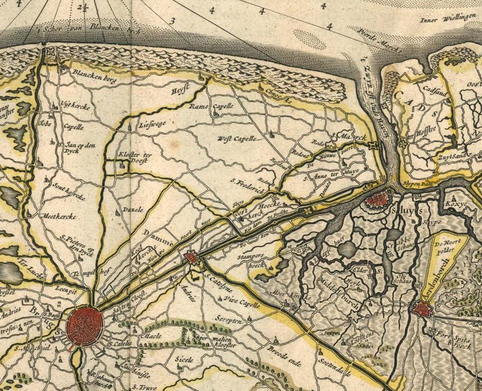
This image was acquired from
wikimedia. It was marked as Public Domain or CC0 and is free to use. To verify, go to the source and check the information there.
Looking for more info about this image?
Try a Google Reverse Image Search for it.
Try a Google Reverse Image Search for it.
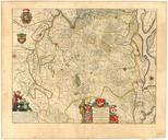
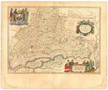
Keywords from Image Description:
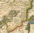
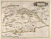
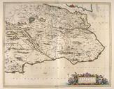
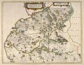
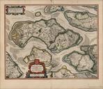
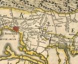
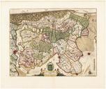
Blaeu Flandri Teutonic pars orientalior Ausschnitt. es Omnium Regionum Edit Guiljel et Ioanne Blaeu Theater of the World or New Atlas of Maps and Representations of All Regions Edited by Willem and Joan Blaeu Source Image BlaeuFlandriTeutonicparsorientalior vollstndige Karte PDold Maps by Willem and Johannes Blaeu Old maps