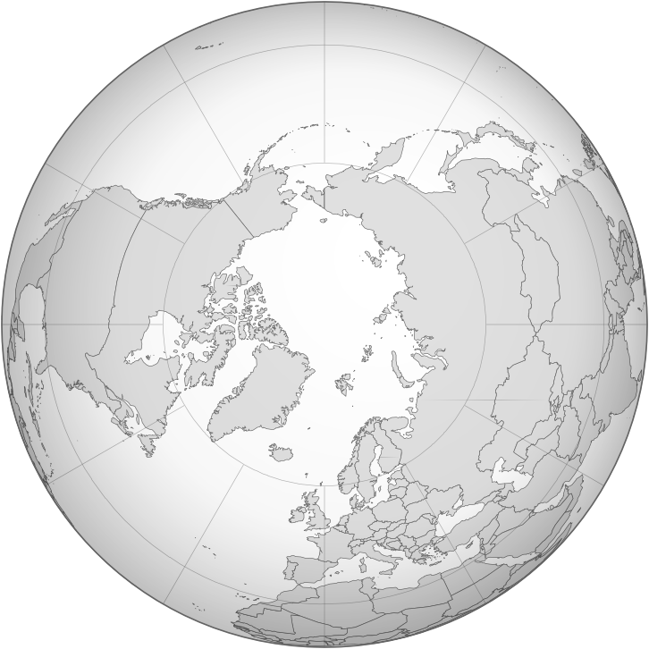
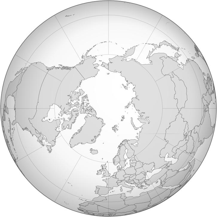
Related Images


Download:
| Tiny | 128x128 | View | Download |
| Small | 256x256 | View | Download |
| Medium | 512x512 | View | Download |
| Original png | 726x726 | View | Download |
| Original as jpg | 726x726 | View | Download |
This image was acquired from
wikimedia. It was marked as Public Domain or CC0 and is free to use. To verify, go to the source and check the information there.
Looking for more info about this image?
Try a Google Reverse Image Search for it.
Try a Google Reverse Image Search for it.
Keywords from Image Description:
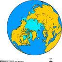
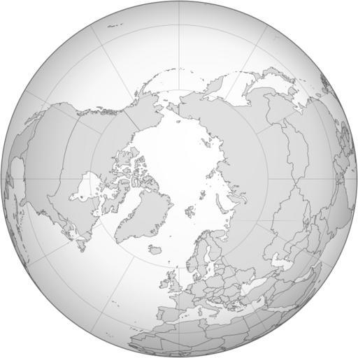
BlankmapaoNnorth pole. locator map Azimuthal orthographic map projection of coords See Image BlankmapaoNnorth pole xcf for an XCF file with separate layers for water land coastlines political borders political borders over water not shown and latitude longitude gridlines not shown Created by User Reisio with GMT derivative works