Related Images
Download:
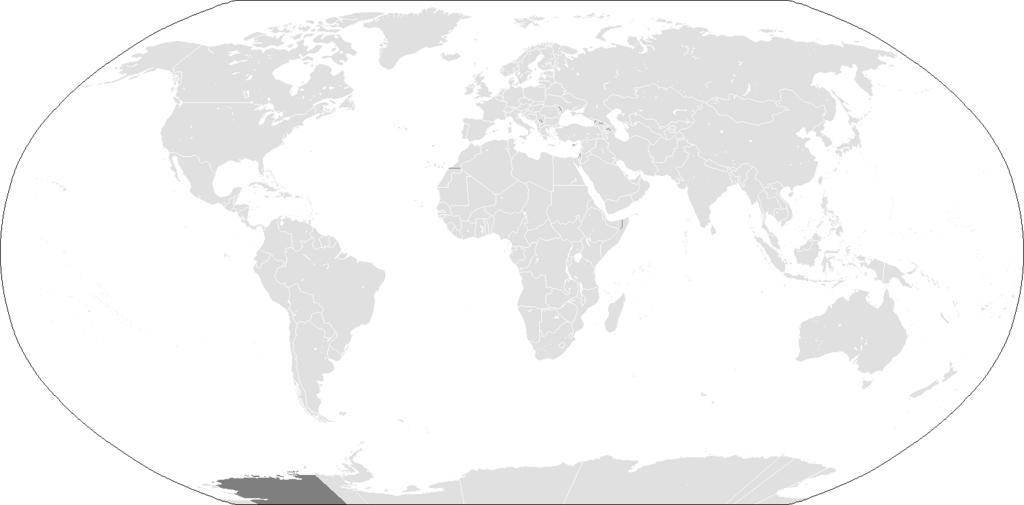
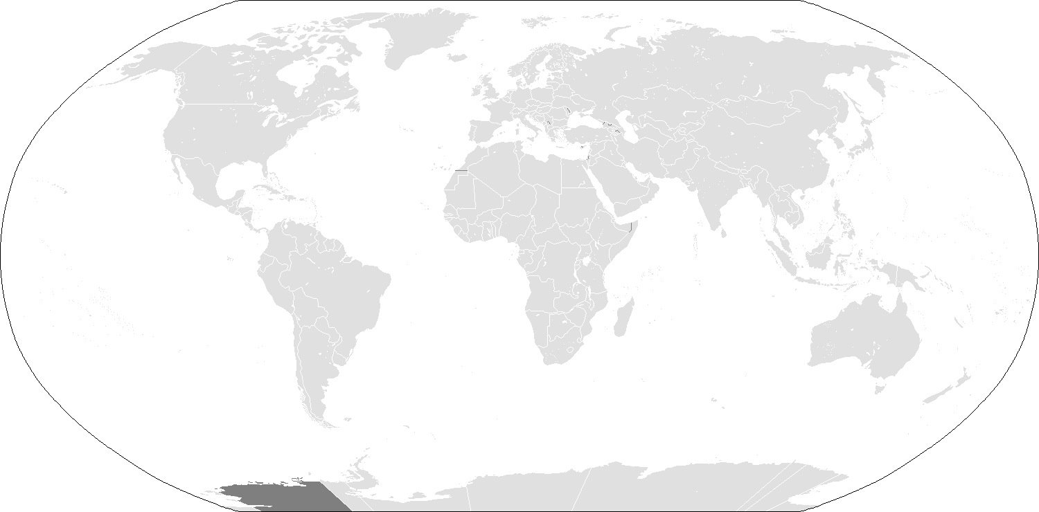
| Tiny | 259x128 | View | Download |
| Small | 518x256 | View | Download |
| Medium | 1037x512 | View | Download |
| Original png | 1500x740 | View | Download |
| Original as jpg | 1500x740 | View | Download |
This image was acquired from
wikimedia. It was marked as Public Domain or CC0 and is free to use. To verify, go to the source and check the information there.
Looking for more info about this image?
Try a Google Reverse Image Search for it.
Try a Google Reverse Image Search for it.
Keywords from Image Description:
BlankMapWorld. Atlas of the world eee Land fff Boundaries of states with limited recognition from their parent country ccc Disputed boundaries ffffff Water and nondisputed recognized political boundaries blank map of the world as of with country outlines for making country locator maps This map uses the Robinson projection compressed