
Related Images


Download:
| Tiny | 124x128 | View | Download |
| Small | 249x256 | View | Download |
| Medium | 499x512 | View | Download |
| Large | 999x1024 | View | Download |
| Original | 1361x1394 | View | Download |
This image was acquired from
wikimedia. It was marked as Public Domain or CC0 and is free to use. To verify, go to the source and check the information there.
Looking for more info about this image?
Try a Google Reverse Image Search for it.
Try a Google Reverse Image Search for it.
Keywords from Image Description:
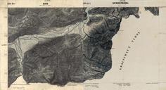
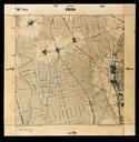
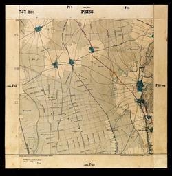
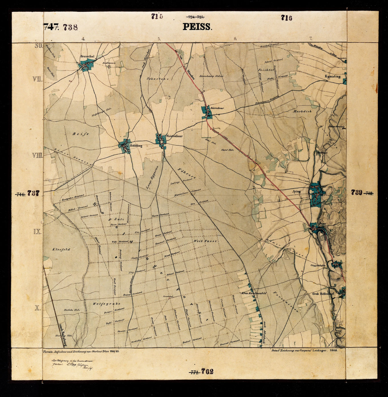
Blatt Peiss. en historical map sheet of Bavaria from area south of Munich Hofoldinger Forst bayerischelandesbibliothekonline de bayerischelandesbibliothekonline de Kniglich Bayerisches Vermessungsamt PDold Maps by Royal Bavarian Land Survey