
Related Images

Download:
| Tiny | 86x128 | View | Download |
| Small | 172x256 | View | Download |
| Medium | 344x512 | View | Download |
| Original | 672x1000 | View | Download |
This image was acquired from
wikimedia. It was marked as Public Domain or CC0 and is free to use. To verify, go to the source and check the information there.
Looking for more info about this image?
Try a Google Reverse Image Search for it.
Try a Google Reverse Image Search for it.
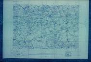
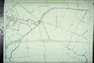
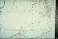
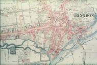
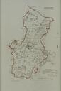
Keywords from Image Description:
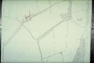
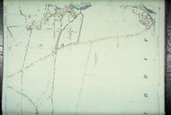
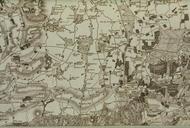
Bodleian Libraries Horsham from the Ordnance Survey. From Robert Dawson Plans of the cities and boroughs of England and Wales shewing their boundaries as established by the Boundaries Act Scale inches to mile or mm mm slide exhibition history Filmstrip Roll frame Source filename mapsxxaqz object history object type dPDArt