Related Images


Download:
| Tiny | 127x128 | View | Download |
| Small | 254x256 | View | Download |
| Medium | 509x512 | View | Download |
| Large | 1019x1024 | View | Download |
| Original png | 6367x6394 | View | Download |
| Original as jpg | 6367x6394 | View | Download |
This image was acquired from
wikimedia. It was marked as Public Domain or CC0 and is free to use. To verify, go to the source and check the information there.
Looking for more info about this image?
Try a Google Reverse Image Search for it.
Try a Google Reverse Image Search for it.
Keywords from Image Description:
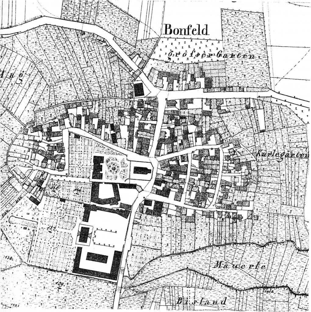
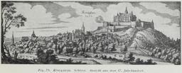
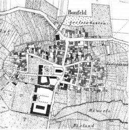
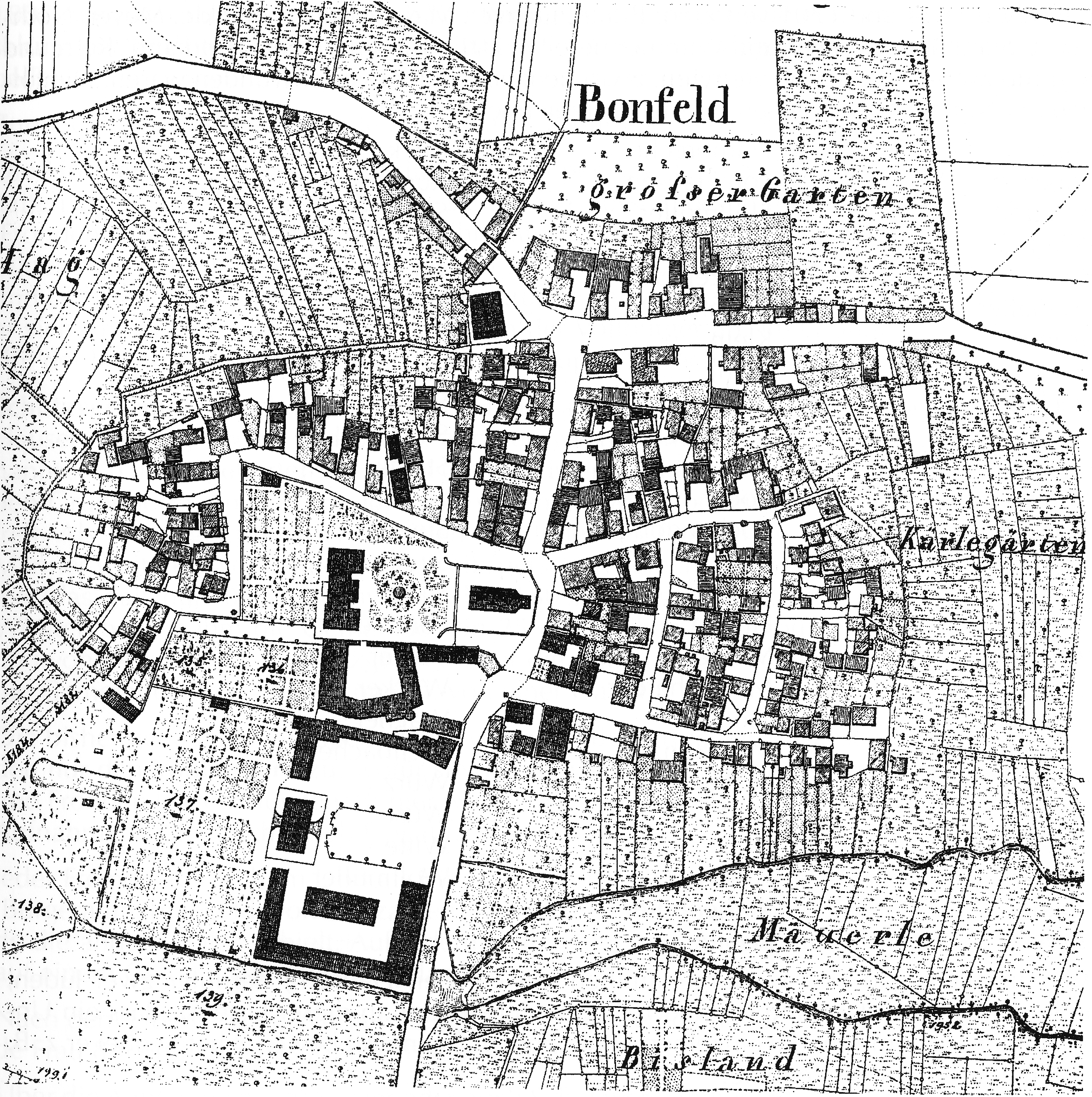
Bonfeld Ortsplan aus dem . Jahrhundert. Bonfeld BadenWrttemberg Germany from the th century probably part of the Wrttembergische Flurkarte which was created about Reproduction after Heimatbuch Bonfeld fig on page There are no copyright problems because the reproduction in the Heimatbuch is simple reproduction which does not