
Related Images


Download:
| Tiny | 99x128 | View | Download |
| Small | 198x256 | View | Download |
| Medium | 396x512 | View | Download |
| Large | 792x1024 | View | Download |
| Original | 3555x4591 | View | Download |
This image was acquired from
wikimedia. It was marked as Public Domain or CC0 and is free to use. To verify, go to the source and check the information there.
Looking for more info about this image?
Try a Google Reverse Image Search for it.
Try a Google Reverse Image Search for it.
Keywords from Image Description:
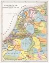
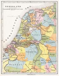
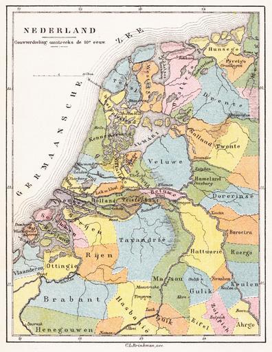
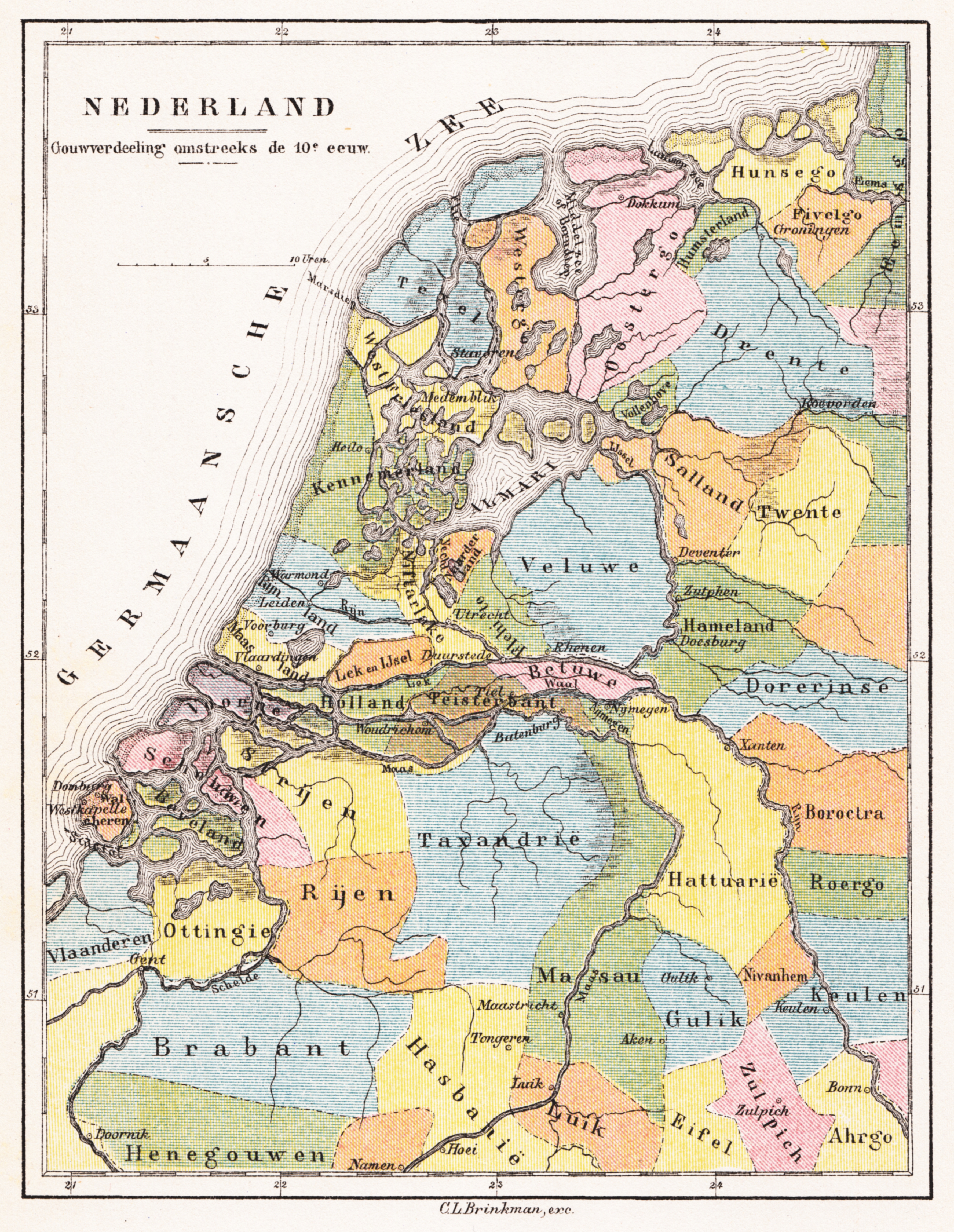
Brinkman Nederland Gouwverdeeling omstreeks de eeuw . en The Netherlands in the th century Map from historical Atlas published by Brinkman Amsterdam Geschiedkundige Atlas van Nederland in Zestien Kaarten met Toelichtende tekst Amsterdam Brinkman Kaart Nederland Gouwverdeeling omstreeks de eeuw author Custom marker PDold Uploaded