Download:
| Tiny | 82x128 | View | Download |
| Small | 165x256 | View | Download |
| Medium | 331x512 | View | Download |
| Large | 663x1024 | View | Download |
| Original svg | 935x1443 | View | Download |
| Original as jpg | 935x1443 | View | Download |
This image was acquired from
wikimedia. It was marked as Public Domain or CC0 and is free to use. To verify, go to the source and check the information there.
Looking for more info about this image?
Try a Google Reverse Image Search for it.
Try a Google Reverse Image Search for it.
Keywords from Image Description:
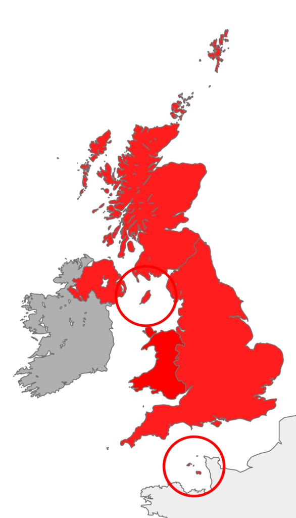
British Islands.svg map showing the territory referred to as the British Islands in relation to Great Britain and Ireland namely the United Kingdom plus the Crown Dependencies but not the Republic of Ireland Own Cnbrb Locator maps of nations of the United Kingdom Maps of the British Isles Maps of the islands of the North Atlantic
