
Related Images


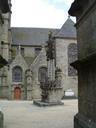
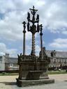


Download:
| Tiny | 101x128 | View | Download |
| Small | 202x256 | View | Download |
| Medium | 404x512 | View | Download |
| Original | 680x860 | View | Download |
This image was acquired from
wikimedia. It was marked as Public Domain or CC0 and is free to use. To verify, go to the source and check the information there.
Looking for more info about this image?
Try a Google Reverse Image Search for it.
Try a Google Reverse Image Search for it.
Keywords from Image Description:
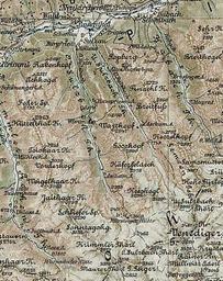
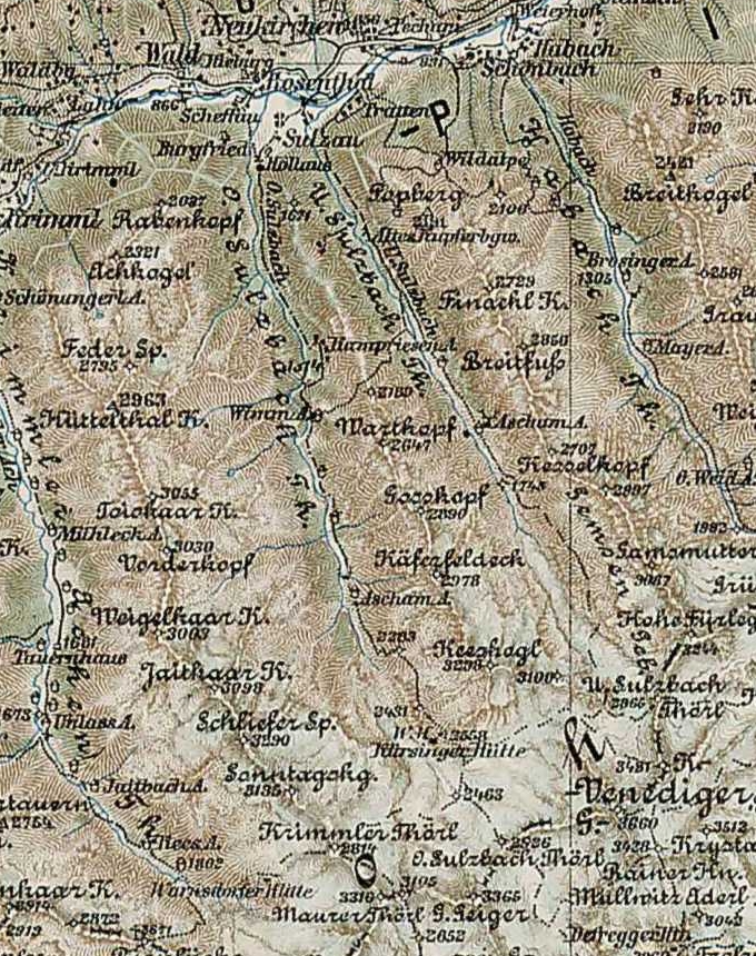
Bruneck O.U. Sulzbach Th. en rd Military Mapping Survey of AustriaHungary Bruneck detail beres nteres Sulzbach Th al file elte hu htm Lszl ZENTAI Bruneck Military mapping authority of AustriaHungary cutout Bruneck PDold Uploaded with Untersulzbachtal Obersulzbachtal Details from rd Military Mapping Survey of