
Related Images


This image was acquired from
wikimedia. It was marked as Public Domain or CC0 and is free to use. To verify, go to the source and check the information there.
Looking for more info about this image?
Try a Google Reverse Image Search for it.
Try a Google Reverse Image Search for it.
Keywords from Image Description:
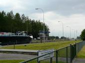
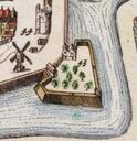
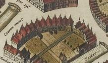
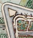
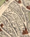
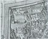
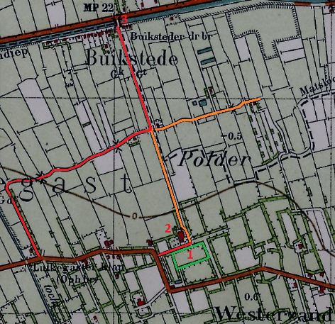
Buikstede uitsnede top.kaart . Kadaster met daarop de buurt Buikstede zoals deze erbij lag voor de aanleg van het Van Starkenborghkanaal in Het grootste deel van de huisjes aan het Hoendiep voorloper van het Van Starkenborghkanaal is toen gesloopt evenals de draaibrug op de kaart Ten zuiden van het buurtje loopt nu een fietspad