
Related Images


Download:
| Tiny | 169x128 | View | Download |
| Small | 339x256 | View | Download |
| Medium | 679x512 | View | Download |
| Original | 1057x797 | View | Download |
This image was acquired from
wikimedia. It was marked as Public Domain or CC0 and is free to use. To verify, go to the source and check the information there.
Looking for more info about this image?
Try a Google Reverse Image Search for it.
Try a Google Reverse Image Search for it.
Keywords from Image Description:
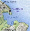
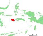
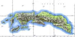
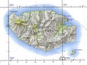
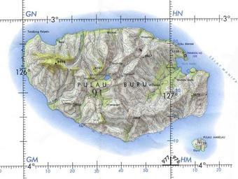
Buru tpc . here January Davenbelle bytes no Buru Island Operational Navigation Chart original scale Portion of Defense Mapping Agency ONC Not for navigational use Commons upload by File Upload Bot Magnus Manske June UTC User Davenbelle on org en PDUSGov Maps of Maluku Buru Excerpt from Tactical Pilotage Chart maps