
Related Images


Download:
| Tiny | 210x128 | View | Download |
| Small | 421x256 | View | Download |
| Original png | 660x401 | View | Download |
| Original as jpg | 660x401 | View | Download |
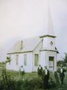
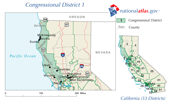
This image was acquired from
wikimedia. It was marked as Public Domain or CC0 and is free to use. To verify, go to the source and check the information there.
Looking for more info about this image?
Try a Google Reverse Image Search for it.
Try a Google Reverse Image Search for it.
Keywords from Image Description:
CAst. en Map of former location st Congressional district in California to gov html gov National Atlas of the United States United States Department of the Interior PDUSGov original upload log page en CAst VitaleBaby bytes no gov html PDUSGov Congressional district maps of California Former Maps of Del Norte County