
Related Images


Download:
| Tiny | 147x128 | View | Download |
| Small | 294x256 | View | Download |
| Medium | 588x512 | View | Download |
| Original | 980x852 | View | Download |
This image was acquired from
wikimedia. It was marked as Public Domain or CC0 and is free to use. To verify, go to the source and check the information there.
Looking for more info about this image?
Try a Google Reverse Image Search for it.
Try a Google Reverse Image Search for it.
Keywords from Image Description:
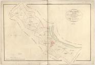
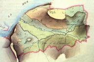
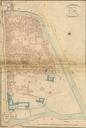
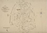
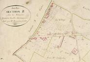
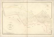
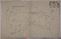
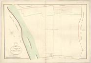
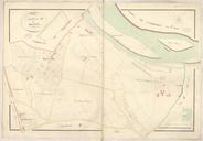
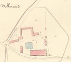
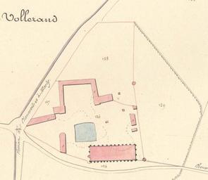
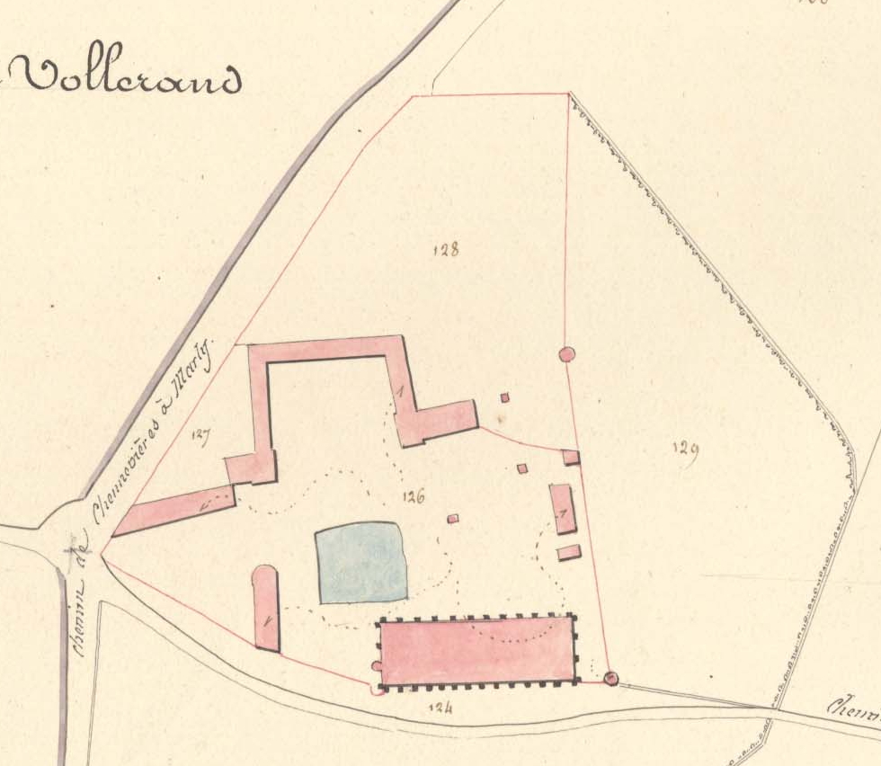
Cadastre Vaulerent . en Plan of the Vaulerent Barn Cadastral map of Villeron former SeineetOise now Vald'Oise France fr Plan de la ferme de Vaulerent Cadastre napolonien de la commune de Villeron anciennement SeineetOise actuel Vald'Oise Archives dpartementales du Vald'Oise Service du cadastre PDold Cadastral maps of France Old