Related Images


Download:
| Tiny | 89x128 | View | Download |
| Small | 179x256 | View | Download |
| Medium | 359x512 | View | Download |
| Original png | 611x870 | View | Download |
| Original as jpg | 611x870 | View | Download |
This image was acquired from
wikimedia. It was marked as Public Domain or CC0 and is free to use. To verify, go to the source and check the information there.
Looking for more info about this image?
Try a Google Reverse Image Search for it.
Try a Google Reverse Image Search for it.
Keywords from Image Description:
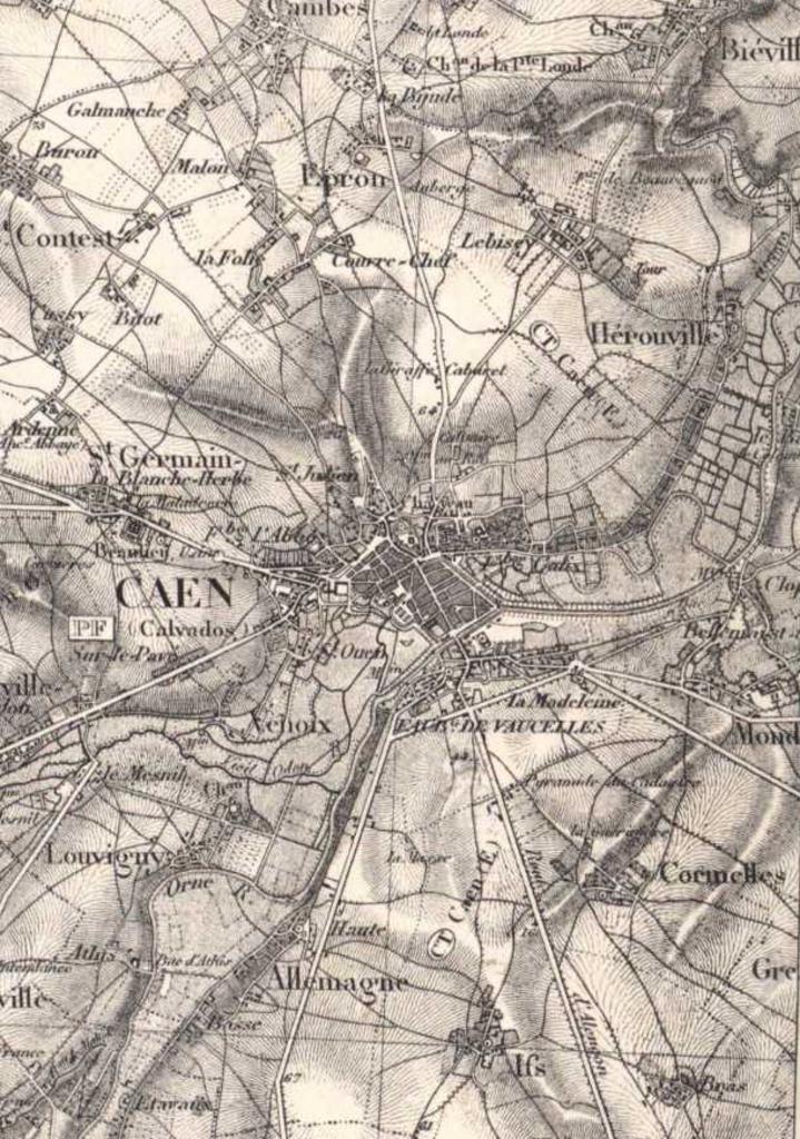
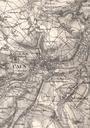
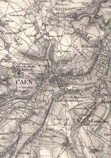
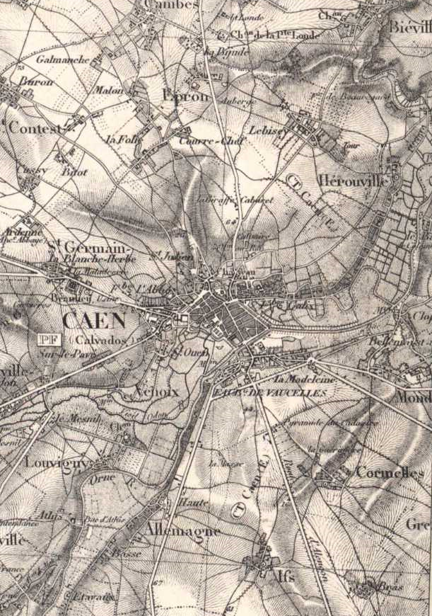
Caen carteetatmajor . fr plan de Caen extrait d'une carte d'tatmajor de Carte topographique de la France leve par les officiers d'tatMajor Gnral de division Pelet dir PDold ImageNote Hameaux de la Folie et de Couvrechef ImageNoteEnd ImageNote Hameau de la Maladrerie ImageNoteEnd ImageNote Ancienne commune