
Related Images


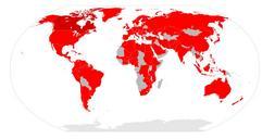
Download:
| Tiny | 151x128 | View | Download |
| Small | 302x256 | View | Download |
| Medium | 605x512 | View | Download |
| Original svg | 1000x846 | View | Download |
| Original as jpg | 1000x846 | View | Download |
This image was acquired from
wikimedia. It was marked as Public Domain or CC0 and is free to use. To verify, go to the source and check the information there.
Looking for more info about this image?
Try a Google Reverse Image Search for it.
Try a Google Reverse Image Search for it.
Keywords from Image Description:
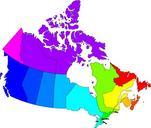
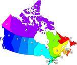
Canadian postal district map.svg The definition of postal district is geographical area in Canada where all postal codes start with the same letter Map of Canada highlighting postal districts Own work based on National Atlas of Canada mapping Denelson Image Canadian Postal Code Map SVG maps of Canada Philatelic and postal maps of