
Related Images

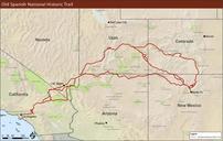

Download:
| Tiny | 193x128 | View | Download |
| Small | 387x256 | View | Download |
| Medium | 774x512 | View | Download |
| Original png | 805x532 | View | Download |
| Original as jpg | 805x532 | View | Download |
This image was acquired from
wikimedia. It was marked as Public Domain or CC0 and is free to use. To verify, go to the source and check the information there.
Looking for more info about this image?
Try a Google Reverse Image Search for it.
Try a Google Reverse Image Search for it.
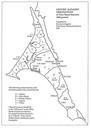
Keywords from Image Description:
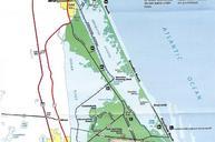
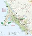
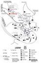
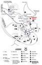
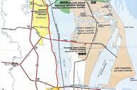
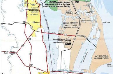
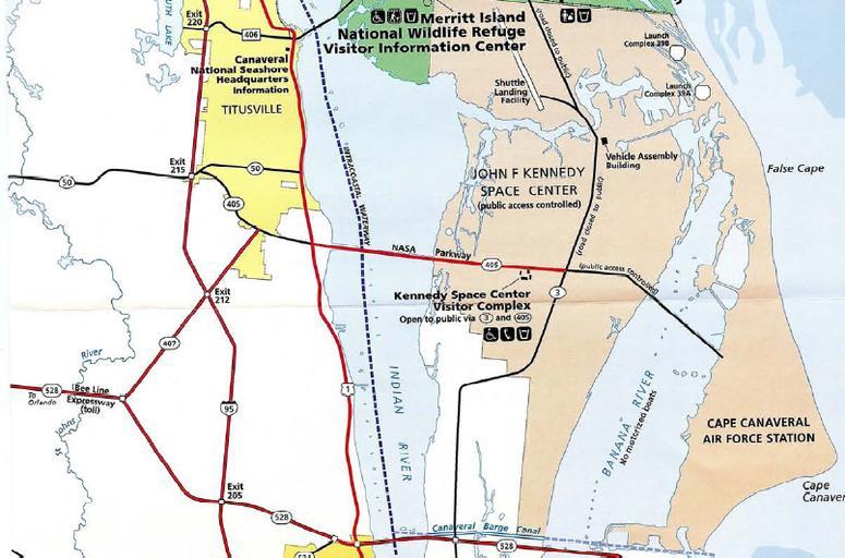
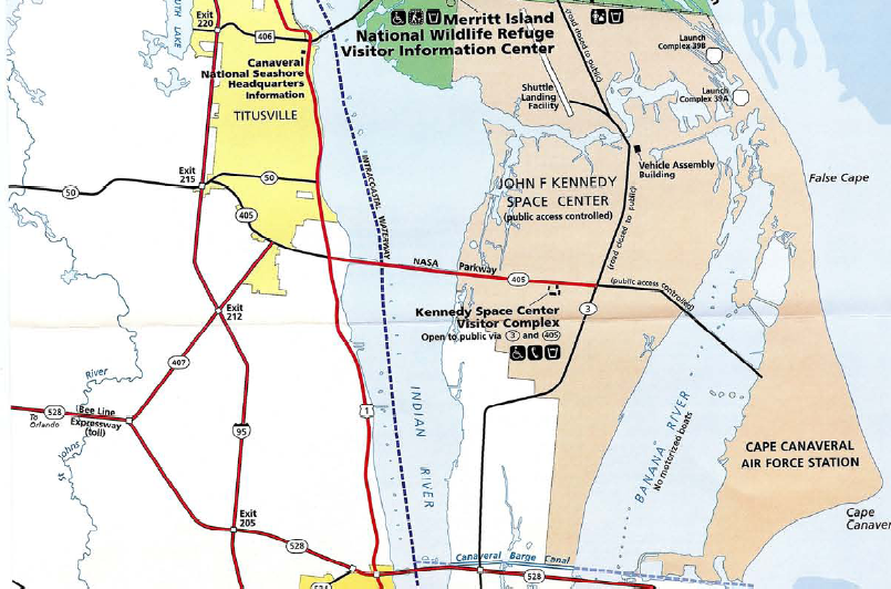
CapeCanavMapS. Map of southern Canaveral National Seashore Florida nps gov pdf National Park Service WTshared OldPine wts Other fields Information field ucfirst location Cape Canaveral PDUSGov Original upload log wts page wts CapeCanavMapS org WTshared OldPine WTshared OldPine bytes no of Southern Cape Canaveral National