Related Images
Download:
| Tiny | 83x128 | View | Download |
| Small | 166x256 | View | Download |
| Medium | 333x512 | View | Download |
| Large | 666x1024 | View | Download |
| Original svg | 2030x3120 | View | Download |
| Original as jpg | 2030x3120 | View | Download |
This image was acquired from
wikimedia. It was marked as Public Domain or CC0 and is free to use. To verify, go to the source and check the information there.
Looking for more info about this image?
Try a Google Reverse Image Search for it.
Try a Google Reverse Image Search for it.
Keywords from Image Description:
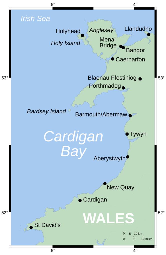
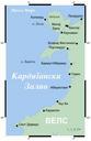
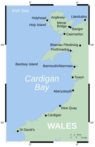
CardiganBay.svg Map showing position of Cardigan Bay off Wales' west coast Vector version of Image CardiganBay on the English Mercator projection Shoreline derived from GSHHS rivers from the CIA World DataBank both publicdomain data sources own Wereon derivative works CardiganBay mk svg CardiganBay svg File CardiganBay cy svg