Related Images


Download:
| Tiny | 120x128 | View | Download |
| Small | 241x256 | View | Download |
| Original png | 419x445 | View | Download |
| Original as jpg | 419x445 | View | Download |
This image was acquired from
wikimedia. It was marked as Public Domain or CC0 and is free to use. To verify, go to the source and check the information there.
Looking for more info about this image?
Try a Google Reverse Image Search for it.
Try a Google Reverse Image Search for it.
Keywords from Image Description:
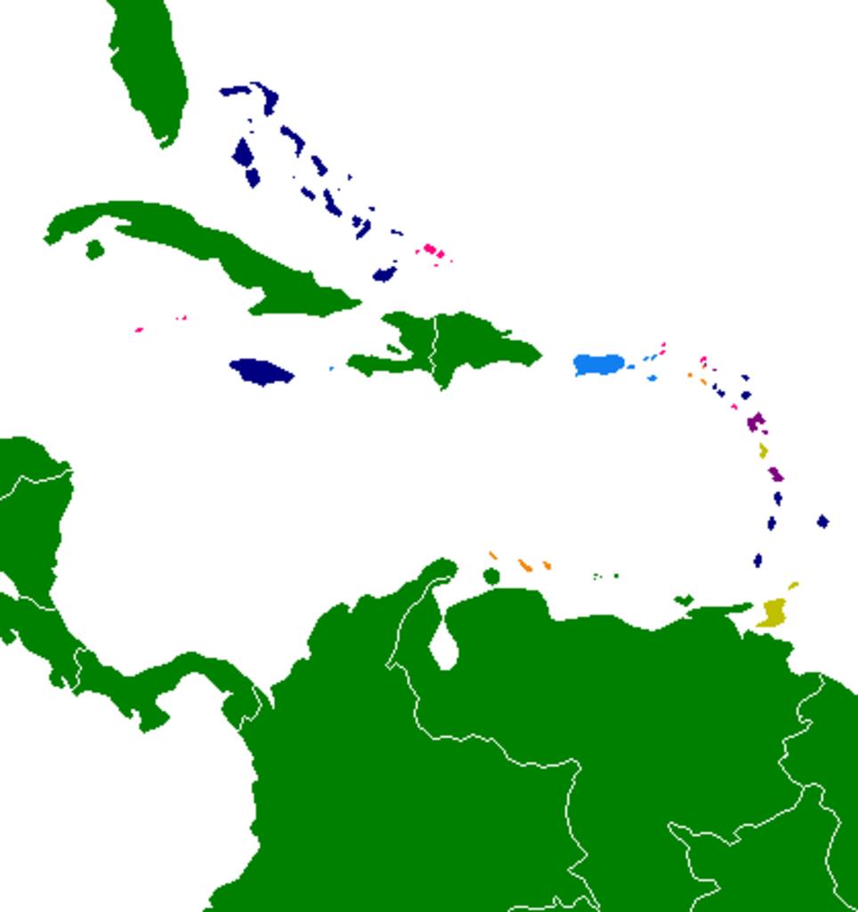
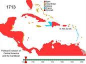
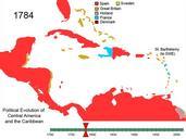
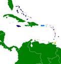
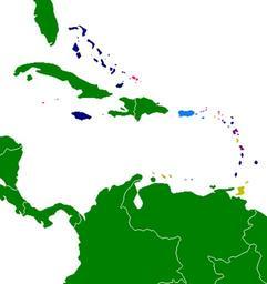
Caribbean by political system. This map shows the various areas of the Caribbean by political system or in the case of dependencies the parent country own assumed Hoshie Key FEF United States Insular areas FF Part of the Kingdom of the Netherlands Republics Commonwealth Realms FF British Overseas territories French overseas Department