
Related Images


Download:
| Tiny | 178x128 | View | Download |
| Small | 356x256 | View | Download |
| Medium | 713x512 | View | Download |
| Original svg | 741x532 | View | Download |
| Original as jpg | 741x532 | View | Download |
This image was acquired from
wikimedia. It was marked as Public Domain or CC0 and is free to use. To verify, go to the source and check the information there.
Looking for more info about this image?
Try a Google Reverse Image Search for it.
Try a Google Reverse Image Search for it.
Keywords from Image Description:
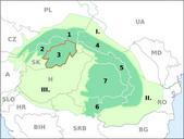
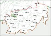
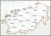
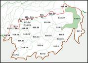
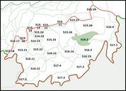
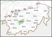
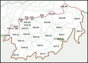
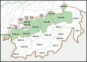
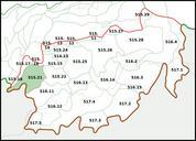
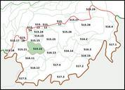
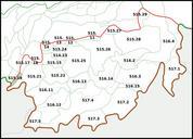
Carpathians Western Inner .svg Mezoregion ostatni karpacki odcinek doliny Hronu Wewntrznych Karpatach ZachodnichHron Depression in Inner Western Carpathians own PM pl Polish language SVG maps of Europe Maps of the Inner Western Carpathians