
Related Images

Download:
| Tiny | 172x128 | View | Download |
| Small | 344x256 | View | Download |
| Medium | 688x512 | View | Download |
| Large | 1377x1024 | View | Download |
| Original png | 13978x10394 | View | Download |
| Original as jpg | 13978x10394 | View | Download |
This image was acquired from
wikimedia. It was marked as Public Domain or CC0 and is free to use. To verify, go to the source and check the information there.
Looking for more info about this image?
Try a Google Reverse Image Search for it.
Try a Google Reverse Image Search for it.
Keywords from Image Description:
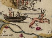
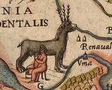
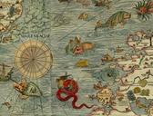
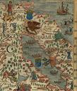
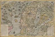
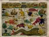
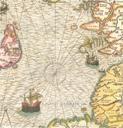
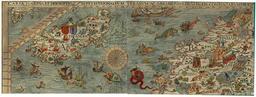
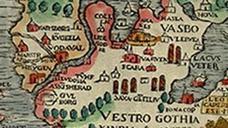
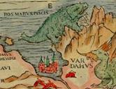
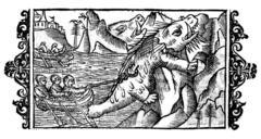
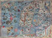
CartaMarina. en The Carta marina Latin map of the sea or sea map drawn by Olaus Magnus in is the earliest map of the Nordic countries that gives details and place name uiah fi lang en Olaus Magnus other versions PDold Uploaded with maps Carta marina