
Related Images


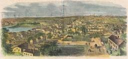

Download:
| Tiny | 159x128 | View | Download |
| Small | 318x256 | View | Download |
| Medium | 637x512 | View | Download |
| Large | 1275x1024 | View | Download |
| Original | 1495x1200 | View | Download |
This image was acquired from
wikimedia. It was marked as Public Domain or CC0 and is free to use. To verify, go to the source and check the information there.
Looking for more info about this image?
Try a Google Reverse Image Search for it.
Try a Google Reverse Image Search for it.
Keywords from Image Description:
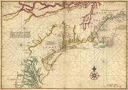
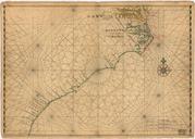
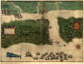
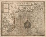
Carte de Norumbega et Virginia. fr Carte marine et terrestre du cartographe Cornelius van Wytfliet ralise entre et Ouvrages historiques et Internet Cornelis van Wytfliet PDArt Uploaded with Old maps of the United States Old maps of Canada Maps by Cornelius van Wytfliet