
Related Images
Download:
| Tiny | 202x128 | View | Download |
| Small | 404x256 | View | Download |
| Medium | 809x512 | View | Download |
| Original png | 1375x870 | View | Download |
| Original as jpg | 1375x870 | View | Download |
This image was acquired from
wikimedia. It was marked as Public Domain or CC0 and is free to use. To verify, go to the source and check the information there.
Looking for more info about this image?
Try a Google Reverse Image Search for it.
Try a Google Reverse Image Search for it.
Keywords from Image Description:
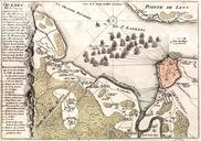
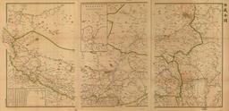
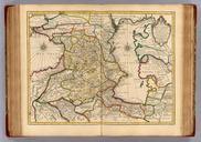
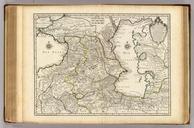
Carte du Golphe de StLaurent et Pays Voisins. en The Gulf of the St Lawrence with Newfoundland The gulf is bounded on the north by the Labrador Peninsula to the east by Newfoundland to the south by the Nova Scotia peninsula and Cape Breton Island and to the west by the Gasp and New Brunswick It contains Anticosti Island Prince Edward