
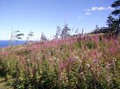
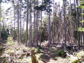
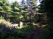
Related Images

Download:
| Tiny | 145x128 | View | Download |
| Small | 291x256 | View | Download |
| Medium | 583x512 | View | Download |
| Large | 1166x1024 | View | Download |
| Original png | 1618x1420 | View | Download |
| Original as jpg | 1618x1420 | View | Download |
This image was acquired from
wikimedia. It was marked as Public Domain or CC0 and is free to use. To verify, go to the source and check the information there.
Looking for more info about this image?
Try a Google Reverse Image Search for it.
Try a Google Reverse Image Search for it.
Keywords from Image Description:
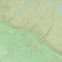
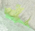
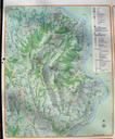
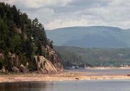
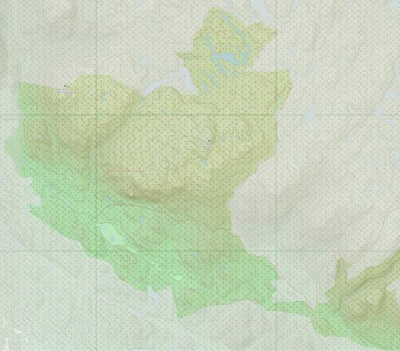
Carte du parc national des MontsValin. fr Carte du parc national des MontsValins Qubec own partir de openstreetmap org lat layers lon zoom OpenStreetMap Jeangagnon Uploaded with Parc national des MontsValin Maps of protected areas of Canada Maps of Quebec