Related Images


Download:
| Tiny | 101x128 | View | Download |
| Small | 203x256 | View | Download |
| Medium | 406x512 | View | Download |
| Large | 813x1024 | View | Download |
| Original | 4800x6043 | View | Download |
This image was acquired from
wikimedia. It was marked as Public Domain or CC0 and is free to use. To verify, go to the source and check the information there.
Looking for more info about this image?
Try a Google Reverse Image Search for it.
Try a Google Reverse Image Search for it.
Keywords from Image Description:
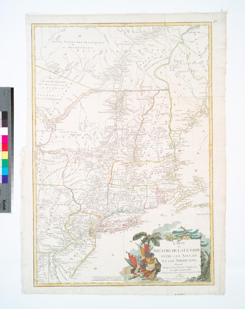
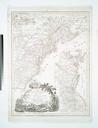
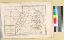
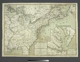
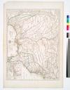
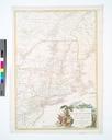
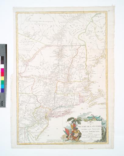
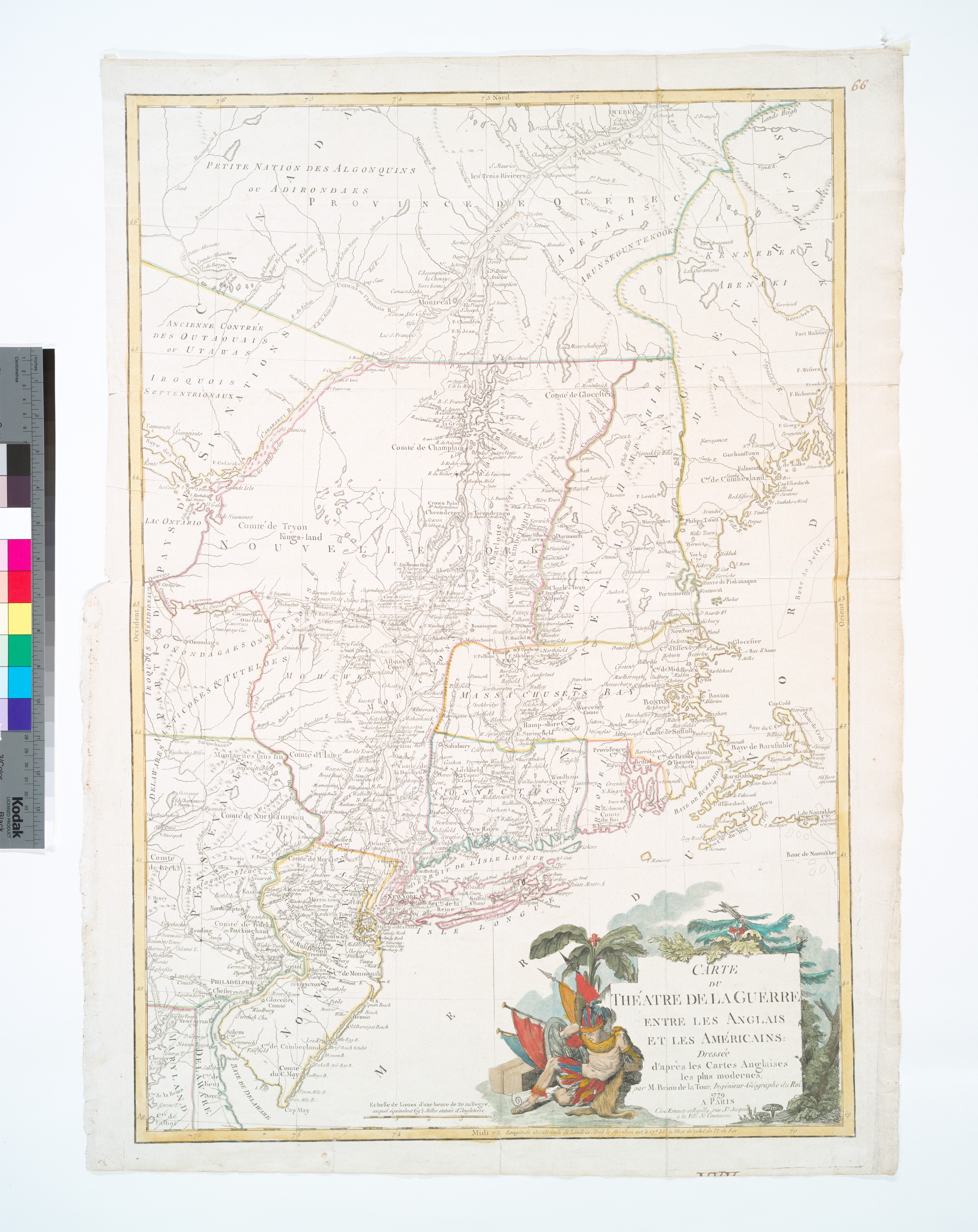
Carte du thatre de la guerre entre les Anglais et les Amricains dresse d'aprs les cartes anglaises les plus modernes NYPL b. en Covers area from Quebec to Cape May and Oswego to Kennebec Bay Includes decorative cartouche Lawrence Slaughter Collection National Endowment for the Humanities Grant for Access to Early Maps of the Middle