Download:
| Tiny | 143x128 | View | Download |
| Small | 286x256 | View | Download |
| Medium | 573x512 | View | Download |
| Original png | 871x778 | View | Download |
| Original as jpg | 871x778 | View | Download |
This image was acquired from
wikimedia. It was marked as Public Domain or CC0 and is free to use. To verify, go to the source and check the information there.
Looking for more info about this image?
Try a Google Reverse Image Search for it.
Try a Google Reverse Image Search for it.
Keywords from Image Description:
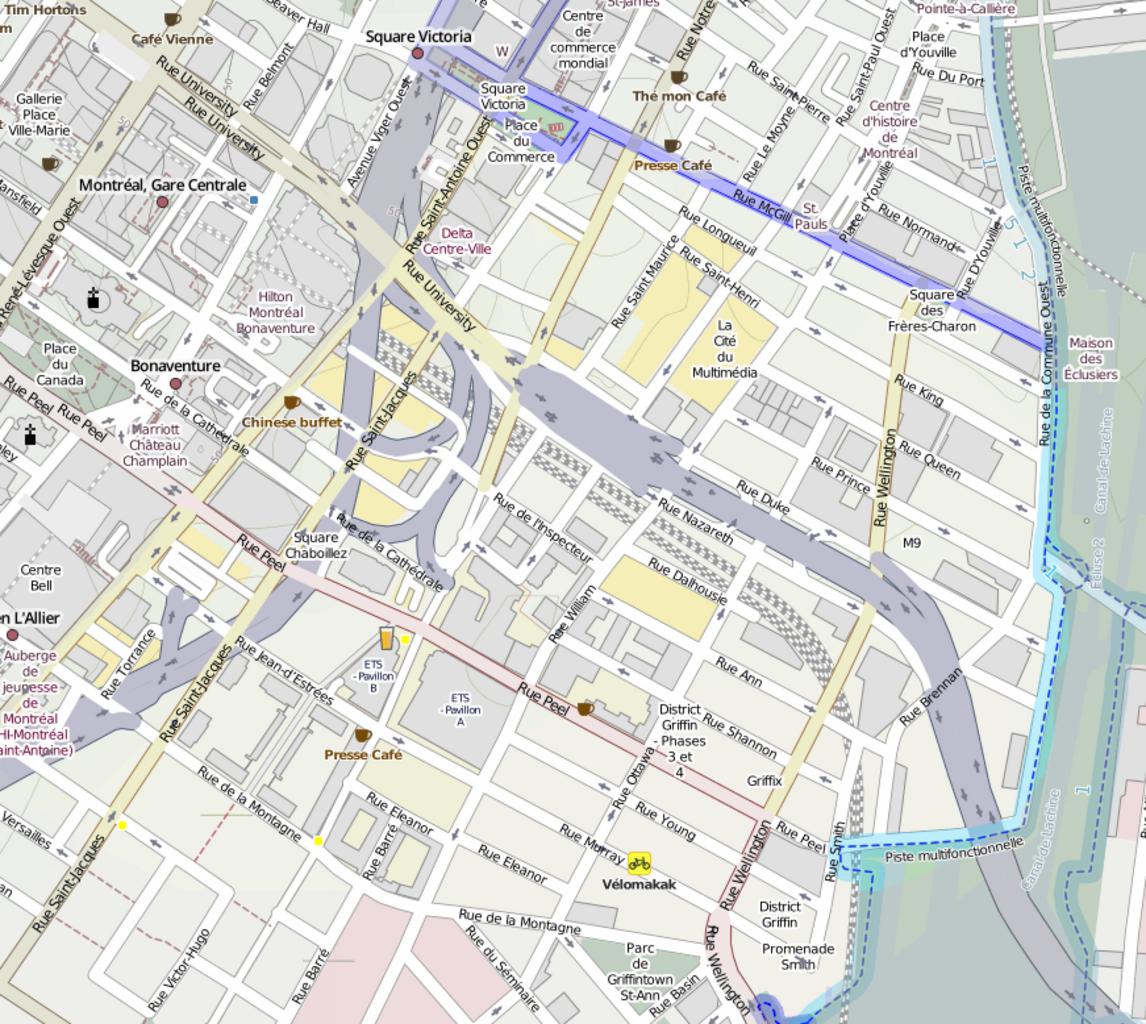
Carte Faubourg des Recollets. Carte du Faubourg des Rcollets un quartier de Montral Le faubourg des Rcollets s'tend approximativement entre le canal de Lachine au sud et entre les rues McGill l'est SaintAntoine au nord et de la Montagne l'ouest bien que ces limites aient volues au fil du temps own partir de openstreetmap org
