Related Images


Download:
| Tiny | 108x128 | View | Download |
| Small | 217x256 | View | Download |
| Medium | 434x512 | View | Download |
| Large | 868x1024 | View | Download |
| Original | 1325x1563 | View | Download |
This image was acquired from
wikimedia. It was marked as Public Domain or CC0 and is free to use. To verify, go to the source and check the information there.
Looking for more info about this image?
Try a Google Reverse Image Search for it.
Try a Google Reverse Image Search for it.
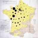
Keywords from Image Description:
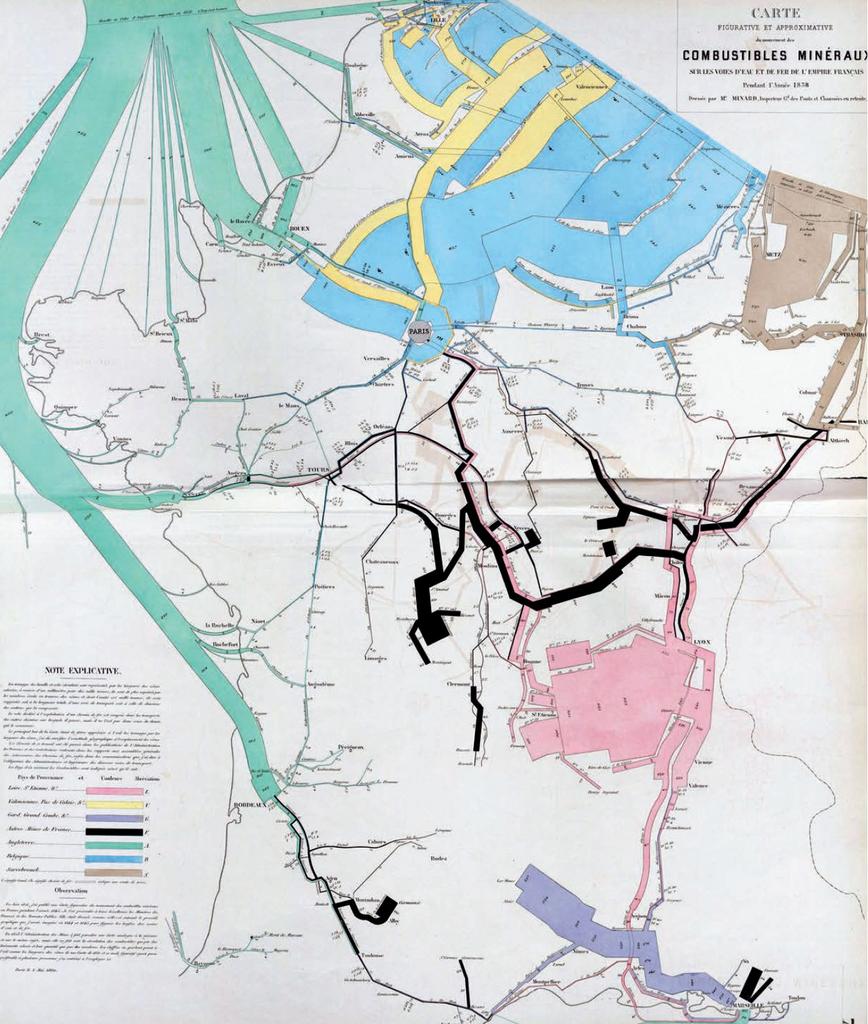
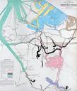
Carte figurative et approximative du mouvement des combustibles minraux sur les voies deau et de fer de lEmpire franais pendant lanne . fr Carte figurative et approximative du mouvement des combustibles minraux sur les voies eau et de fer de Empire franais pendant anne en Figurative map of mineral fuels movement on the waterways