Related Images


Download:
| Tiny | 96x128 | View | Download |
| Small | 192x256 | View | Download |
| Medium | 385x512 | View | Download |
| Large | 771x1024 | View | Download |
| Original | 8637x11459 | View | Download |
This image was acquired from
wikimedia. It was marked as Public Domain or CC0 and is free to use. To verify, go to the source and check the information there.
Looking for more info about this image?
Try a Google Reverse Image Search for it.
Try a Google Reverse Image Search for it.
Keywords from Image Description:
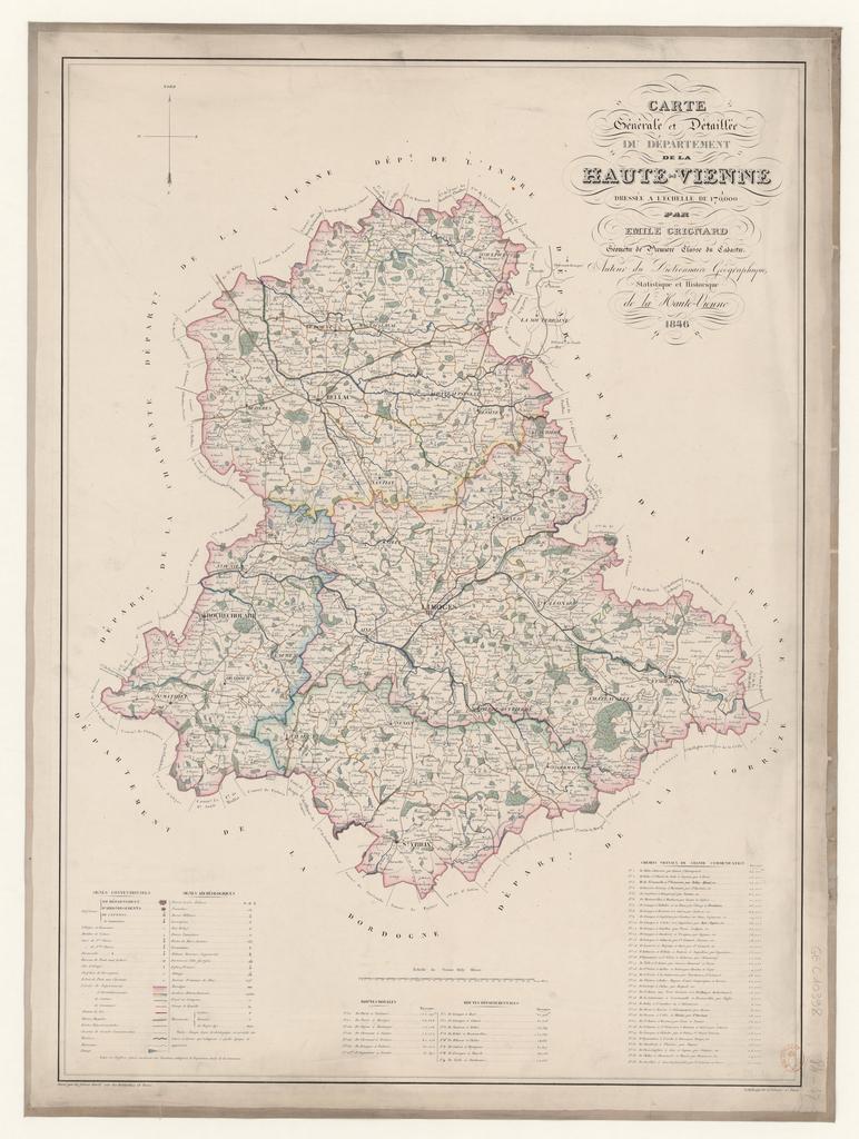
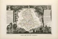
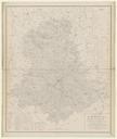
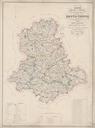
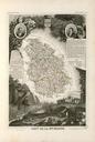
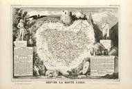
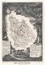
Carte gnrale et dtaille du dpartement de la HauteVienne . fr Carte gnrale et dtaille du dpartement de la HauteVienne btvb mile Grignard cartographe Frres Avril graveur Kaeppelin litographe other versions PDold mile Grignard Old maps of HauteVienne maps