
Related Images


Download:
| Tiny | 231x128 | View | Download |
| Small | 463x256 | View | Download |
| Medium | 926x512 | View | Download |
| Large | 1852x1024 | View | Download |
| Original | 8532x4715 | View | Download |
This image was acquired from
wikimedia. It was marked as Public Domain or CC0 and is free to use. To verify, go to the source and check the information there.
Looking for more info about this image?
Try a Google Reverse Image Search for it.
Try a Google Reverse Image Search for it.
Keywords from Image Description:
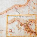
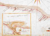
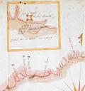
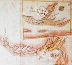
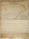
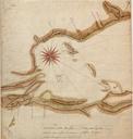
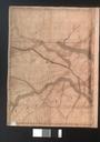
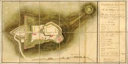
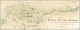
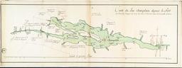
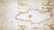
Carte ou plan nouveau du lac Ontario. fr CARTE ou plan Nouveau du Lac Ontario avec touttes les isles et bayes qui Sont rnfermes Et les forts qui Sont Scitus Sur les bords du dit Lac en Author Laforce RenHippolyte Date Location Fort Frontenac Ont Fort Fort Ontario Fort Oswego Oswego Old Fort Niagara Ontario Lake and Ont Dimensions