Related Images
Download:
| Tiny | 96x128 | View | Download |
| Small | 193x256 | View | Download |
| Medium | 386x512 | View | Download |
| Large | 772x1024 | View | Download |
| Original tiff | 4176x5539 | View | Download |
| Original as jpg | 4176x5539 | View | Download |
This image was acquired from
wikimedia. It was marked as Public Domain or CC0 and is free to use. To verify, go to the source and check the information there.
Looking for more info about this image?
Try a Google Reverse Image Search for it.
Try a Google Reverse Image Search for it.
Keywords from Image Description:
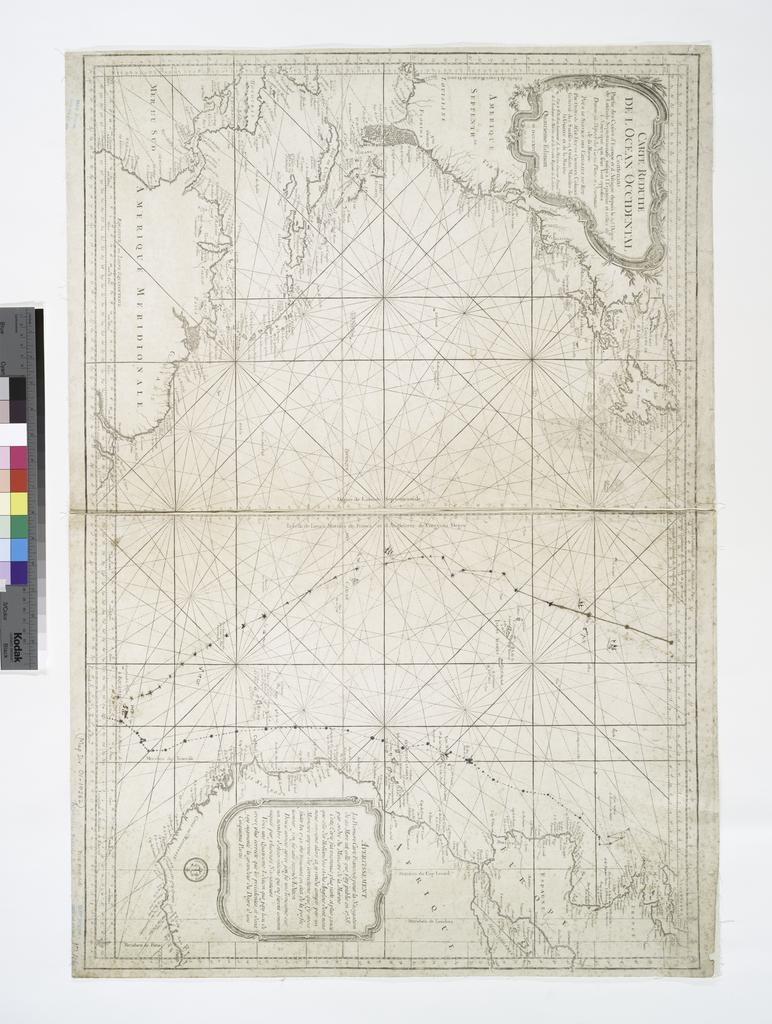
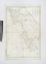
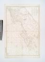
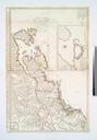
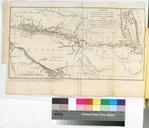
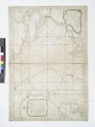
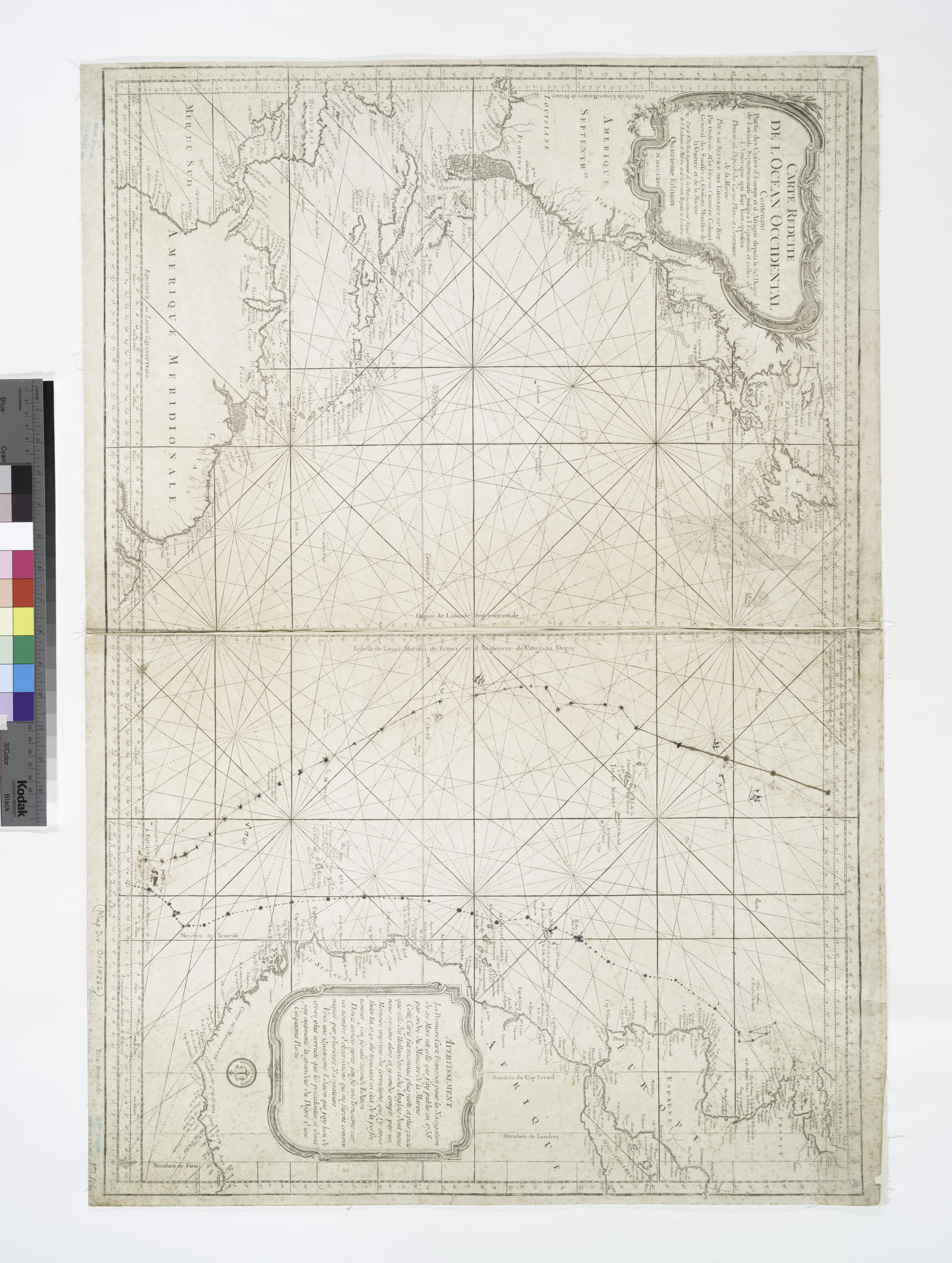
Carte rduite de l'Ocean occidental contenant partie des costes d'Europe et d'Afrique depuis le dgr de latitude septentrionale jusqu' l'Equateur et celles de l'Amerique qui leur sont opposes NYPL. map cm Maps of the Oceans Atlantic Ocean Stephen Schwarzman Building The Lionel Pincus and Princess Firyal Map Division Choiseul