Related Images

Download:
| Tiny | 169x128 | View | Download |
| Small | 338x256 | View | Download |
| Medium | 676x512 | View | Download |
| Large | 1352x1024 | View | Download |
| Original | 16410x12423 | View | Download |
This image was acquired from
wikimedia. It was marked as Public Domain or CC0 and is free to use. To verify, go to the source and check the information there.
Looking for more info about this image?
Try a Google Reverse Image Search for it.
Try a Google Reverse Image Search for it.
Keywords from Image Description:
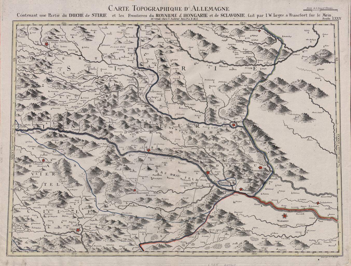
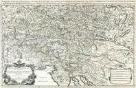
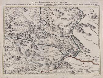
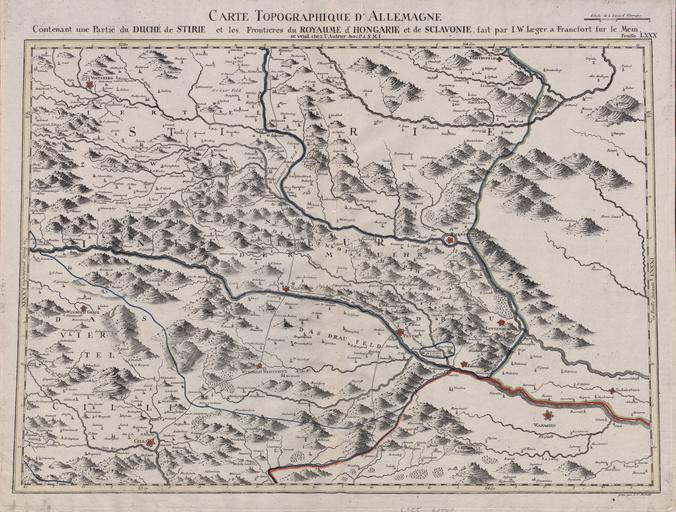
Carte Topographique d'Allemange Contenant une Partie du Duch de Stirie et les Frontieres du Royaume d'Hongarie et de Sclavonie . LargeImage Carte Topographique d'Allemange Contenant une Partie du Duch de Stirie et les Frontieres du Royaume d'Hongarie et de Sclavonie NDEOCV Johann Wilhelm Jaeger PDold thcentury maps of Slovenia maps