
Related Images


Download:
| Tiny | 206x128 | View | Download |
| Small | 413x256 | View | Download |
| Medium | 827x512 | View | Download |
| Original | 995x616 | View | Download |
This image was acquired from
wikimedia. It was marked as Public Domain or CC0 and is free to use. To verify, go to the source and check the information there.
Looking for more info about this image?
Try a Google Reverse Image Search for it.
Try a Google Reverse Image Search for it.
Keywords from Image Description:
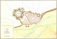
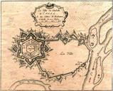
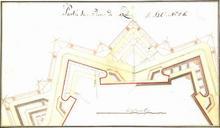
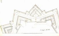
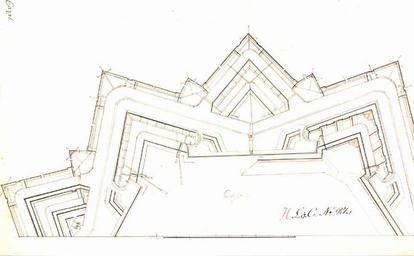
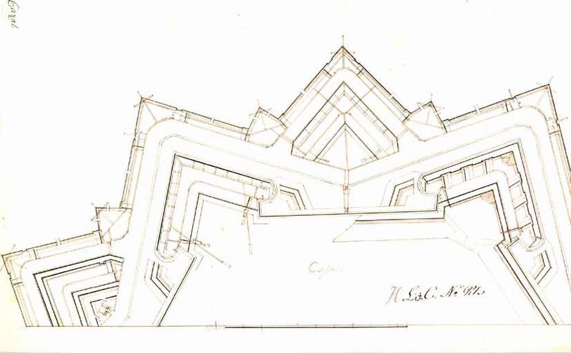
Casale Monferrato map . Plan of the fortified city of Casale Monferrato detail of part of the citadel described by the source as Cazal National Archives and the regional state archives of Sweden statensarkiv se asp id Casale Utlndska stads och fstningsplaner Tu PDArt Old maps of Casale Monferrato