
Related Images


Download:
| Tiny | 141x128 | View | Download |
| Small | 283x256 | View | Download |
| Medium | 566x512 | View | Download |
| Original | 1000x904 | View | Download |
This image was acquired from
wikimedia. It was marked as Public Domain or CC0 and is free to use. To verify, go to the source and check the information there.
Looking for more info about this image?
Try a Google Reverse Image Search for it.
Try a Google Reverse Image Search for it.
Keywords from Image Description:
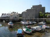
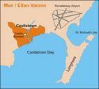
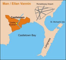
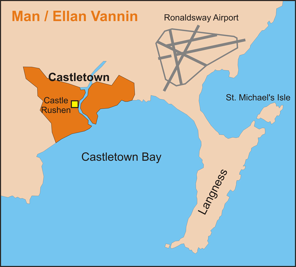
Castletownmap. Map of Castletown Isle of Man including the bay airport and Langness Drawing from satellite photo Finn Bjorklid Finn Bjorklid File CartedeCastletown original upload log date username resolution size edit summary User Finn Bjorklid Kb no Map of Castletown Isle of Man including the bay airport and Langness Drawing