
Related Images


Download:
| Tiny | 170x128 | View | Download |
| Small | 341x256 | View | Download |
| Medium | 682x512 | View | Download |
| Large | 1365x1024 | View | Download |
| Original | 2304x1728 | View | Download |
This image was acquired from
wikimedia. It was marked as Public Domain or CC0 and is free to use. To verify, go to the source and check the information there.
Looking for more info about this image?
Try a Google Reverse Image Search for it.
Try a Google Reverse Image Search for it.
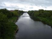
Keywords from Image Description:
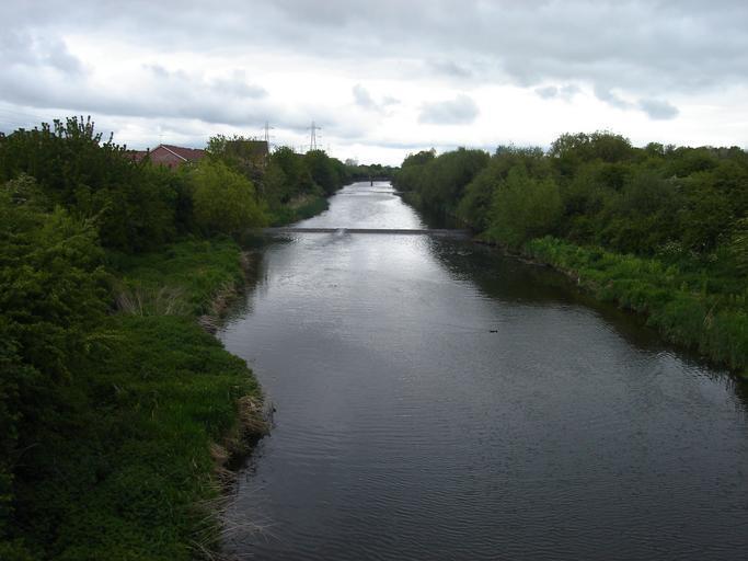
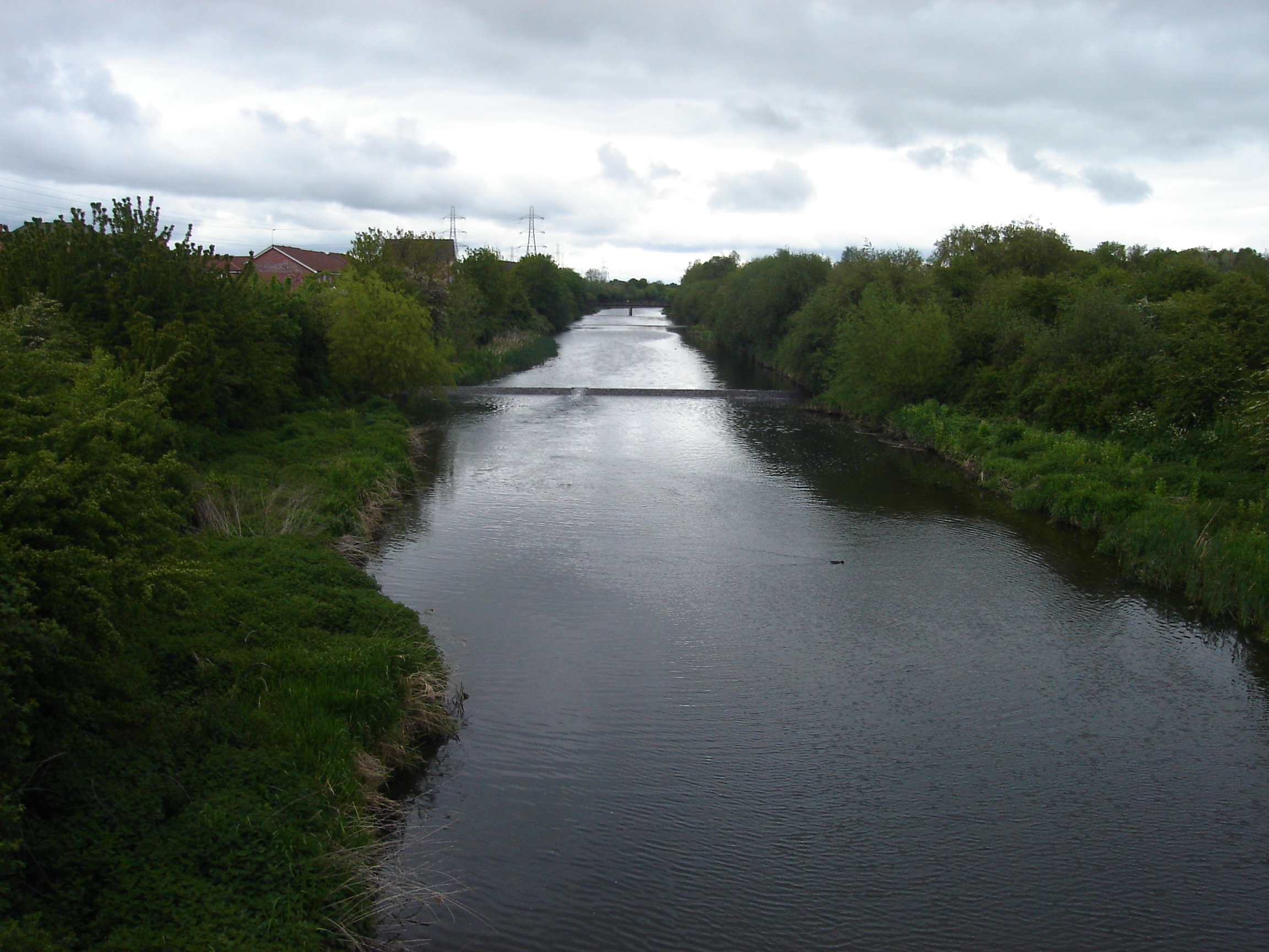
Cattlegate Flood Relief Channel. River Lee Flood Relief Channel is known as the Cattlegate Flood Relief Channel at this point The channel forms the eastern boundary of the the Enfield Village Island development which can be partially seen to the left of the photo Sewardstone Marsh is pictured on the right own Northmetpit River Lea