Related Images


Download:
| Tiny | 111x128 | View | Download |
| Small | 223x256 | View | Download |
| Medium | 446x512 | View | Download |
| Large | 893x1024 | View | Download |
| Original tiff | 6700x7681 | View | Download |
| Original as jpg | 6700x7681 | View | Download |
This image was acquired from
wikimedia. It was marked as Public Domain or CC0 and is free to use. To verify, go to the source and check the information there.
Looking for more info about this image?
Try a Google Reverse Image Search for it.
Try a Google Reverse Image Search for it.
Keywords from Image Description:
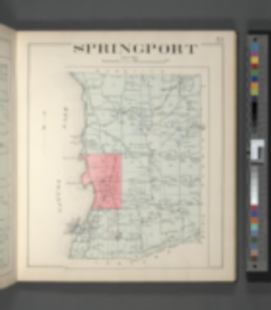
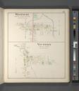
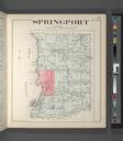
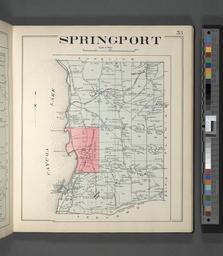
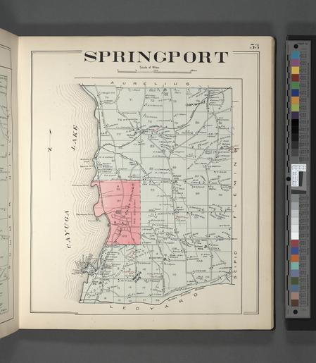
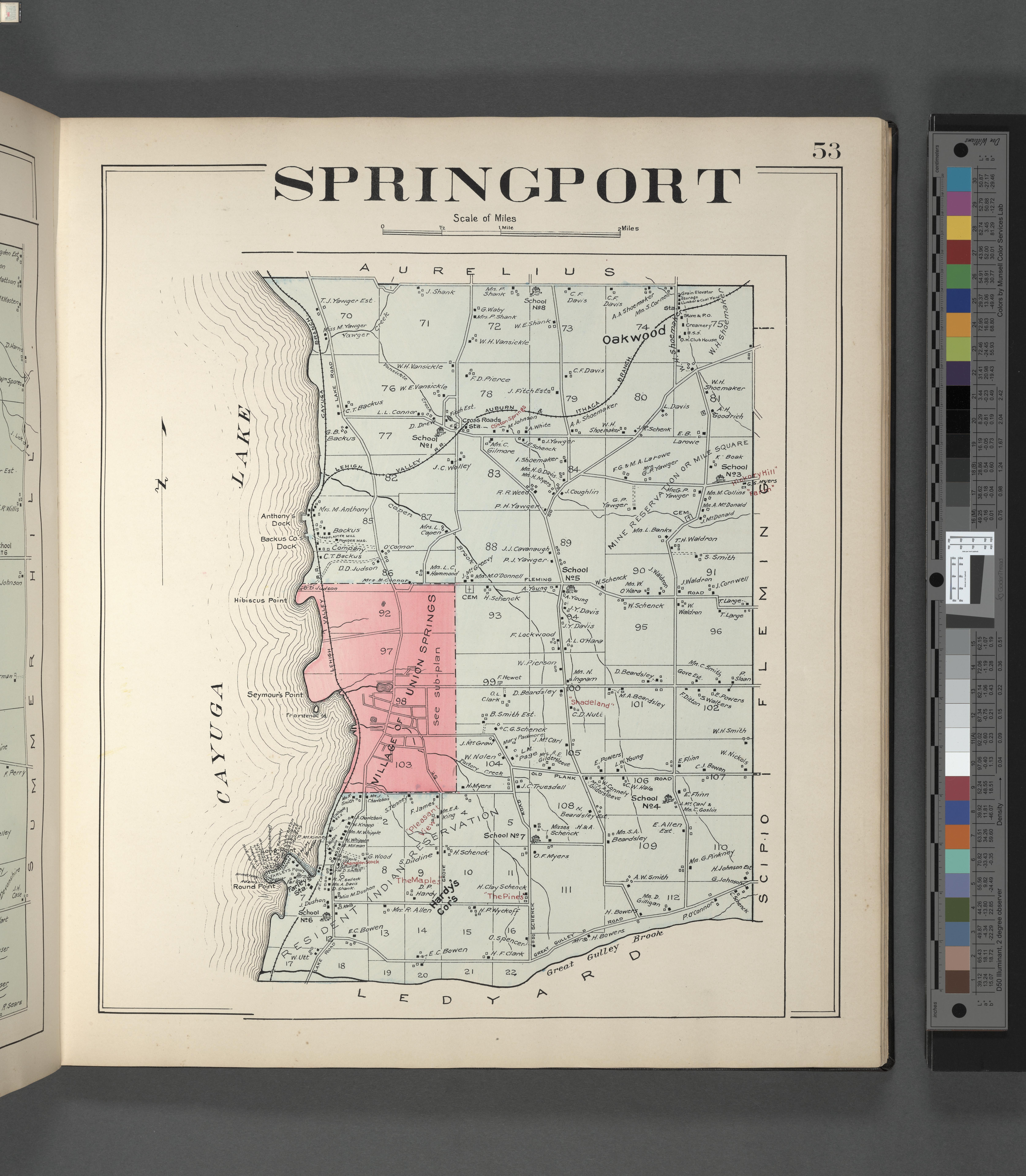
Cayuga County Right Page Map of Springport NYPL. Cayuga County Right Page Map of Springport Atlases of the United States New York The new Century atlas of Cayuga County New York with farm records by the Company's corps of expert engineers and draughtsmen Otto Barthel chief engineer col maps illus incl ports cm Information