Download:
| Tiny | 79x128 | View | Download |
| Small | 159x256 | View | Download |
| Medium | 318x512 | View | Download |
| Large | 637x1024 | View | Download |
| Original png | 2942x4725 | View | Download |
| Original as jpg | 2942x4725 | View | Download |
This image was acquired from
wikimedia. It was marked as Public Domain or CC0 and is free to use. To verify, go to the source and check the information there.
Looking for more info about this image?
Try a Google Reverse Image Search for it.
Try a Google Reverse Image Search for it.
Keywords from Image Description:
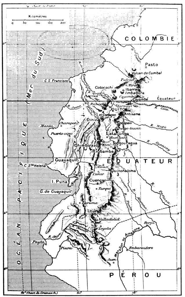
CD EquatorExpedition. Carte de la rgion de l'ancien Prou ont eu lieu les mesures de Godin Bouguer et La Condamine Carte suffisamment ancienne fin XIXe ou dbut XXe sicle plus de ans pour tre tomb dans le domaine public Lowres scan of Peru during Godin Bouguer and La Condamine expedition Author Source fr Image CD EquatorExpedition
