Related Images


Download:
| Tiny | 88x128 | View | Download |
| Small | 177x256 | View | Download |
| Medium | 355x512 | View | Download |
| Original png | 617x888 | View | Download |
| Original as jpg | 617x888 | View | Download |
This image was acquired from
wikimedia. It was marked as Public Domain or CC0 and is free to use. To verify, go to the source and check the information there.
Looking for more info about this image?
Try a Google Reverse Image Search for it.
Try a Google Reverse Image Search for it.
Keywords from Image Description:
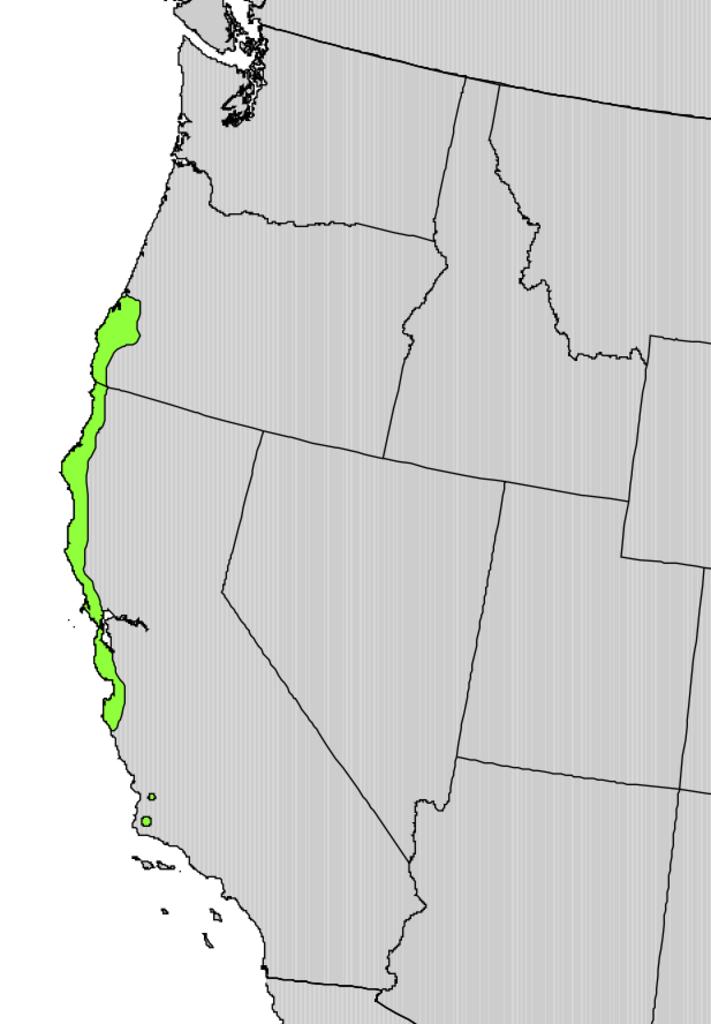
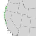
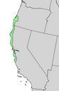
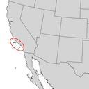
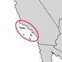
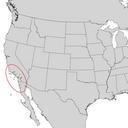
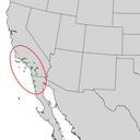
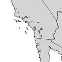
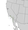
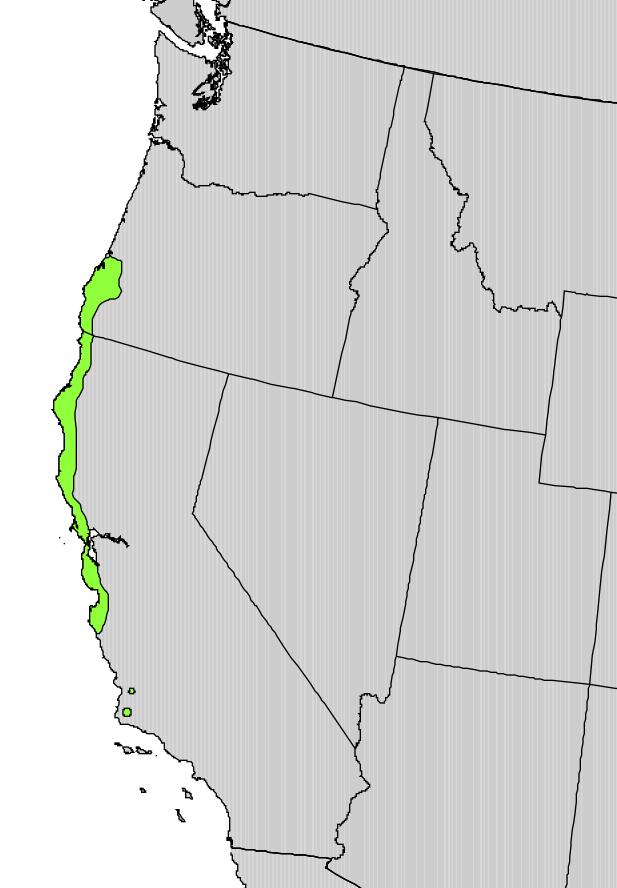
Ceanothus thyrsiflorus range map. Ceanothus thyrsiflorus Digital representation of Atlas of United States Trees by Elbert Little Jr cr usgs gov Geological Survey PDUSGovInteriorUSGS PDUSGov Ceanothus thyrsiflorus range maps