
Related Images


Download:
| Tiny | 149x128 | View | Download |
| Small | 298x256 | View | Download |
| Medium | 596x512 | View | Download |
| Large | 1193x1024 | View | Download |
| Original | 1565x1343 | View | Download |
This image was acquired from
wikimedia. It was marked as Public Domain or CC0 and is free to use. To verify, go to the source and check the information there.
Looking for more info about this image?
Try a Google Reverse Image Search for it.
Try a Google Reverse Image Search for it.
Keywords from Image Description:
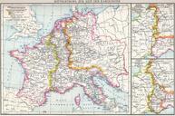
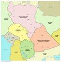
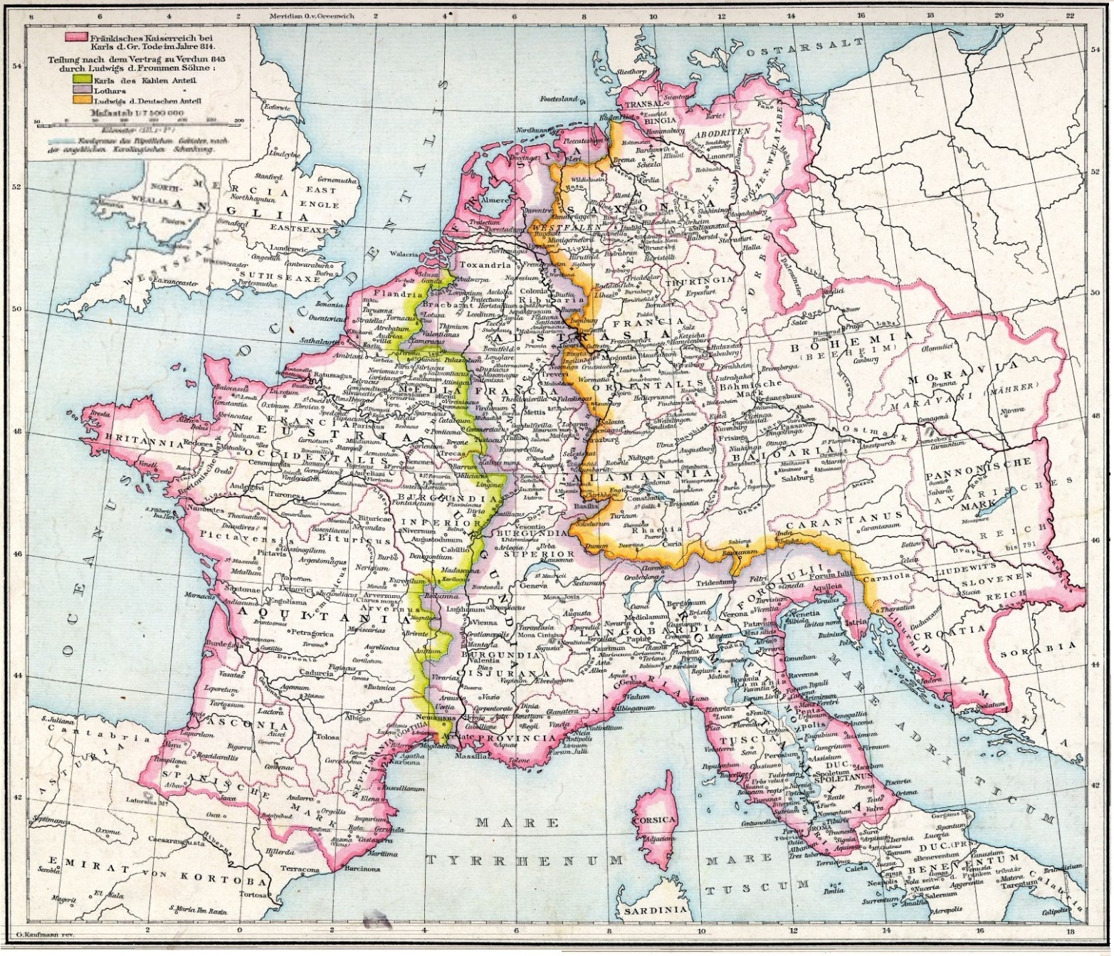
Central Europe in Carolingian times. Mitteleuropa zur Zeit der Karolinger Central Europe in Carolingian times Allgemeiner Historischer Handatlas Johann Gustav Droysen PDold File Mitteleuropa zur Zeit der Karolinger Maps from Allgemeiner Historischer Handatlas Frankenreich Maps of the Frankish territory Maps showing thcentury history