Related Images


This image was acquired from
wikimedia. It was marked as Public Domain or CC0 and is free to use. To verify, go to the source and check the information there.
Looking for more info about this image?
Try a Google Reverse Image Search for it.
Try a Google Reverse Image Search for it.
Keywords from Image Description:
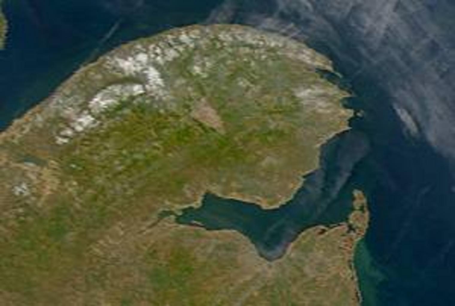
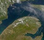
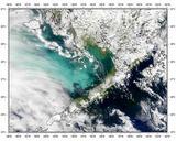
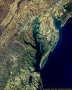
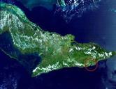
ChaleurBay. Description Satellite image of Chaleur Bay below the Gasp Peninsula From SeaWiFS Level image of the Canadian Maritime provinces and northeastern United States acquired May Source NASA Goddard Earth Sciences Data and Information Services Center PDSeaWiFS Peninsulas of Canada Chaleur Bay