Related Images


Download:
| Tiny | 170x128 | View | Download |
| Small | 340x256 | View | Download |
| Medium | 681x512 | View | Download |
| Large | 1362x1024 | View | Download |
| Original tiff | 10328x7760 | View | Download |
| Original as jpg | 10328x7760 | View | Download |
This image was acquired from
wikimedia. It was marked as Public Domain or CC0 and is free to use. To verify, go to the source and check the information there.
Looking for more info about this image?
Try a Google Reverse Image Search for it.
Try a Google Reverse Image Search for it.
Keywords from Image Description:
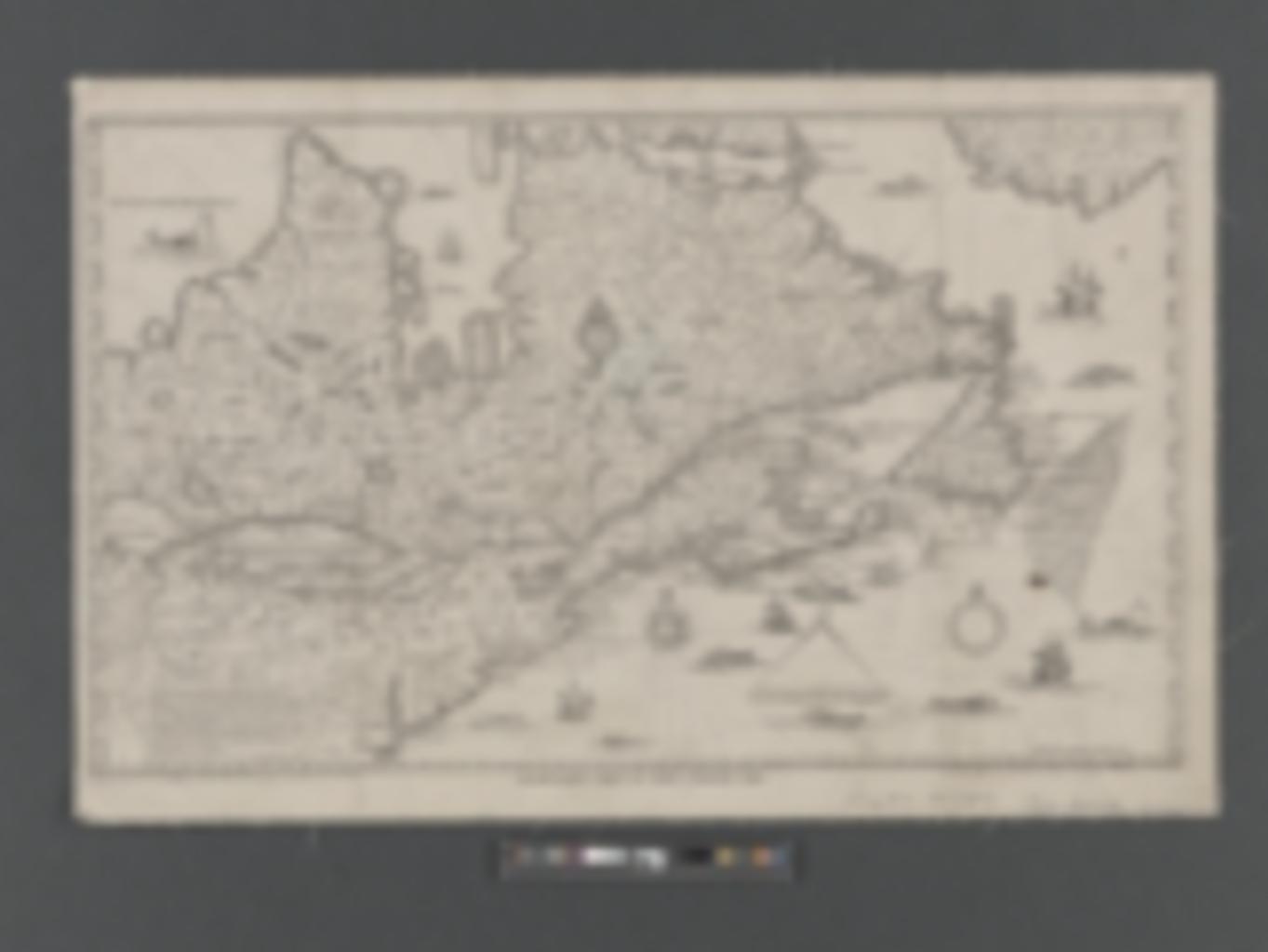
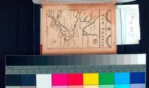
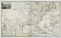
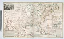
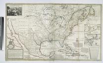
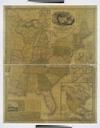
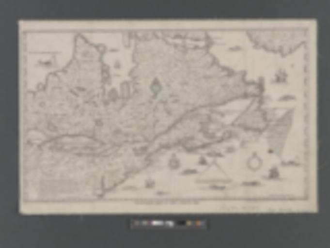
Champlain's map of New France NYPL b. en Covers area north from Virginia to Greenland and west to Lake Erie Scale ca Includes ill Mapping the Nation NEH grant nypl org Scan by NYPL Champlain's map of New France Carte de la NouvelleFrance augmente depuis la dernire servant la navigation faicte en son vray Meridien Albany