
Related Images


Download:
| Tiny | 252x128 | View | Download |
| Small | 504x256 | View | Download |
| Medium | 1009x512 | View | Download |
| Large | 2018x1024 | View | Download |
| Original png | 2555x1296 | View | Download |
| Original as jpg | 2555x1296 | View | Download |
This image was acquired from
wikimedia. It was marked as Public Domain or CC0 and is free to use. To verify, go to the source and check the information there.
Looking for more info about this image?
Try a Google Reverse Image Search for it.
Try a Google Reverse Image Search for it.
Keywords from Image Description:
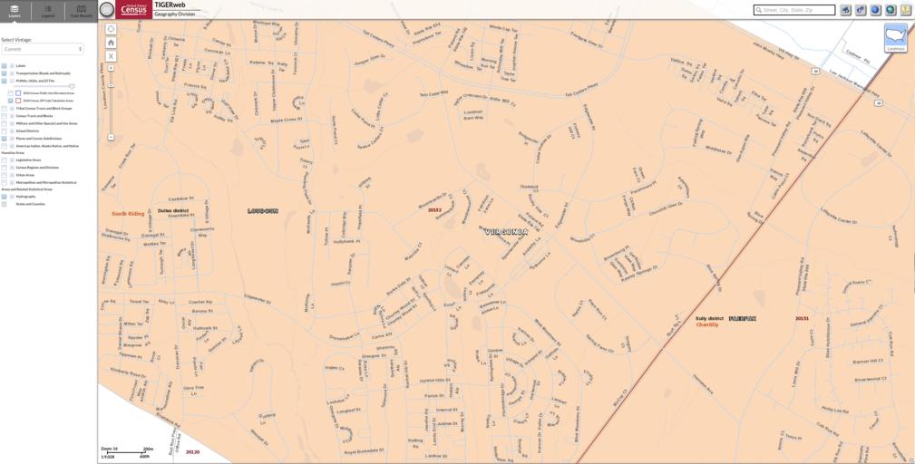
Chantilly VA censusmap. Map showing overlap of Loudon and Fairfax Counties in Chantilly VA geo census gov US Census PDUSGov Original upload log en Chantilly CVAcensusmap bytes Digagecivrights Uploading publicdomain item using File Upload Wizard Uncategorized May