
Related Images


Download:
| Tiny | 104x128 | View | Download |
| Small | 208x256 | View | Download |
| Medium | 416x512 | View | Download |
| Original | 780x960 | View | Download |
This image was acquired from
wikimedia. It was marked as Public Domain or CC0 and is free to use. To verify, go to the source and check the information there.
Looking for more info about this image?
Try a Google Reverse Image Search for it.
Try a Google Reverse Image Search for it.
Keywords from Image Description:
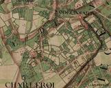
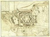
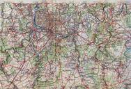
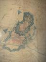
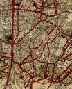
CharleroiBroucheterreenv. . fr Charleroi La Broucheterre vers Carte topographique de la Belgique en couleurs au Troisime dition dite Nouvelle dition topograve ralise par l'Institut Cartographique Militaire entre et own Jmho PDold Old maps of Charleroi Broucheterre