
Related Images
Download:
| Tiny | 76x128 | View | Download |
| Small | 152x256 | View | Download |
| Medium | 305x512 | View | Download |
| Large | 610x1024 | View | Download |
| Original | 4282x7185 | View | Download |
This image was acquired from
wikimedia. It was marked as Public Domain or CC0 and is free to use. To verify, go to the source and check the information there.
Looking for more info about this image?
Try a Google Reverse Image Search for it.
Try a Google Reverse Image Search for it.
Keywords from Image Description:
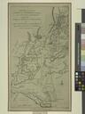
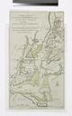
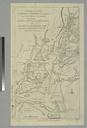
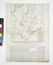
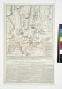
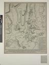
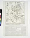
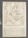
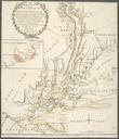
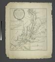
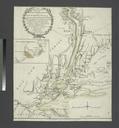
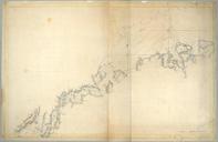
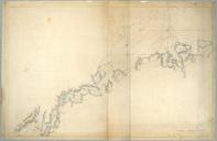
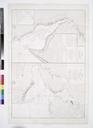
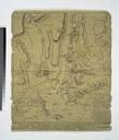
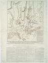
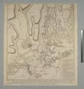
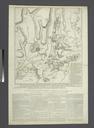
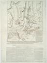
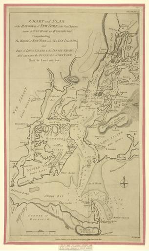
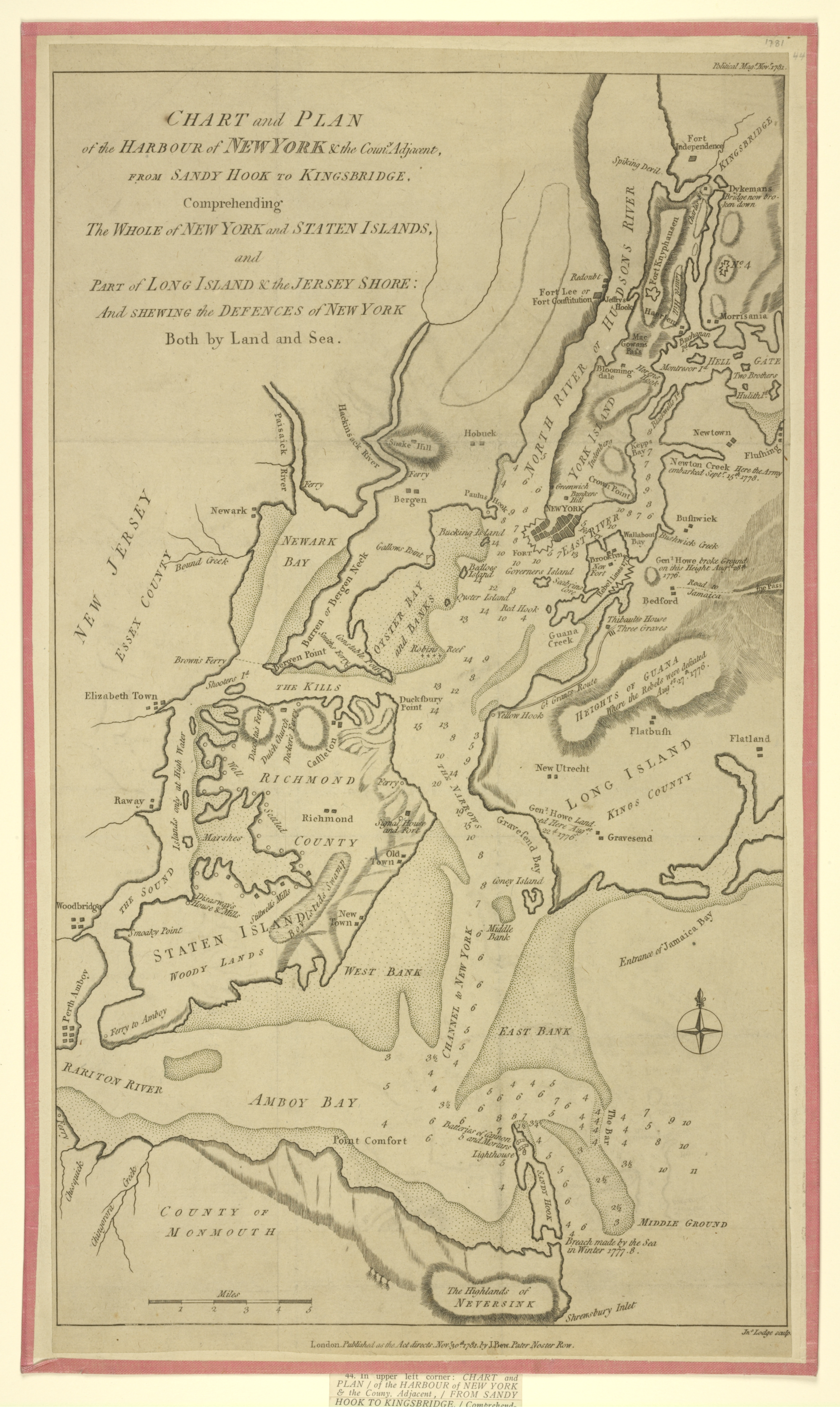
Chart and plan of the harbour of New York the Couny. Adjacent from Sandy Hook to Kingsbridge comprehending the whole of New York and Staten Islands and part of Long Island the Jersey NYPL Hades. en Citation Eno nypl org Scan by NYPL Chart and plan of the harbour of New York the Couny Adjacent from Sandy Hook to Kingsbridge