
Related Images


Download:
| Tiny | 131x128 | View | Download |
| Small | 263x256 | View | Download |
| Medium | 526x512 | View | Download |
| Large | 1052x1024 | View | Download |
| Original | 4970x4834 | View | Download |
This image was acquired from
wikimedia. It was marked as Public Domain or CC0 and is free to use. To verify, go to the source and check the information there.
Looking for more info about this image?
Try a Google Reverse Image Search for it.
Try a Google Reverse Image Search for it.
Keywords from Image Description:
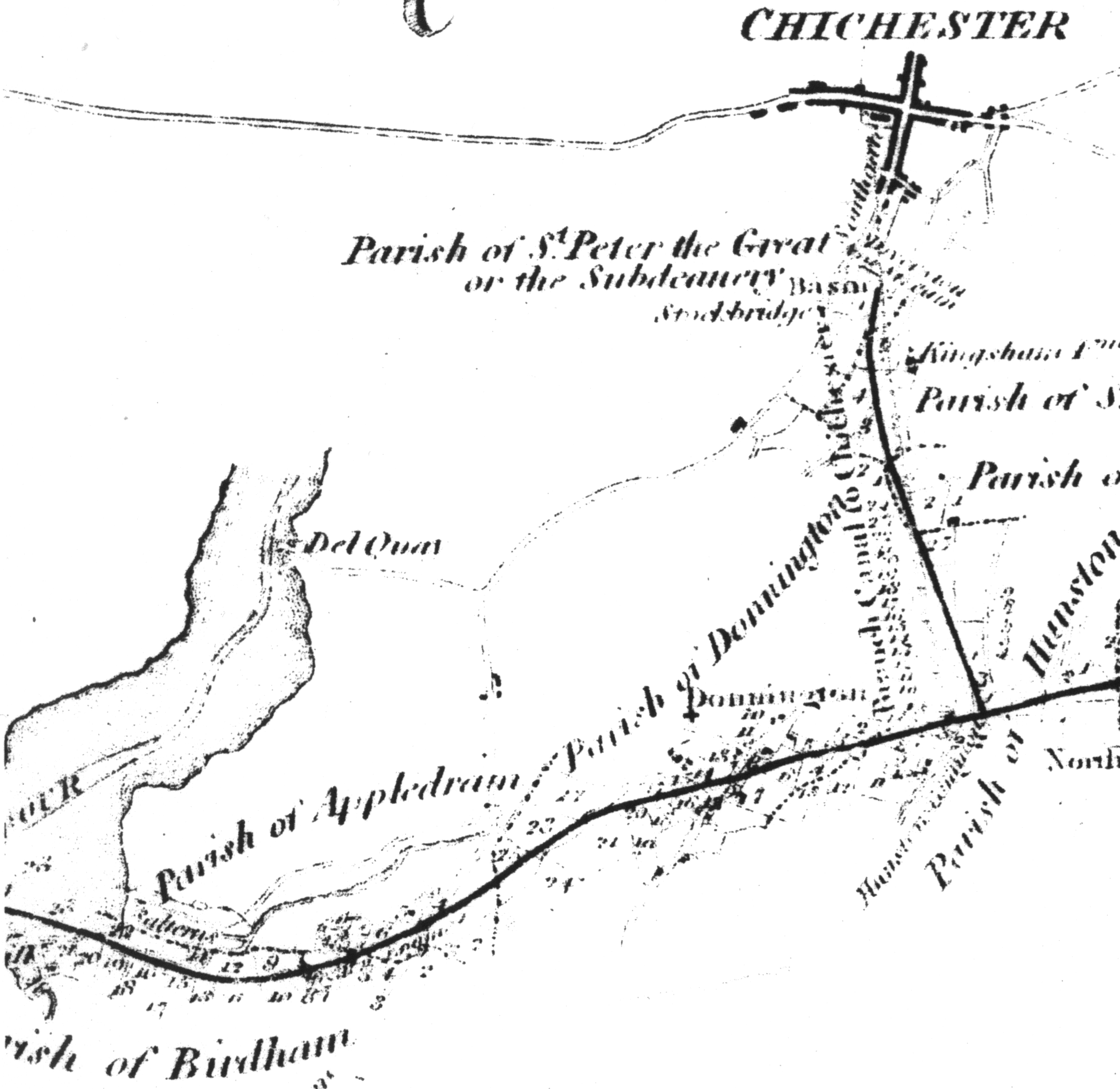
Chichester canalmap. Map of the rout of the chichester canal from the original plan when the canal was then part of the portsmouth and arundel map Netlam Francis Giles although the shape of the cost line and such is probably taken from other older maps PD due to age PDold maps Chichester Canal Maps of canals in the United Kingdom