Related Images


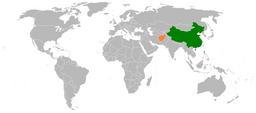
This image was acquired from
wikimedia. It was marked as Public Domain or CC0 and is free to use. To verify, go to the source and check the information there.
Looking for more info about this image?
Try a Google Reverse Image Search for it.
Try a Google Reverse Image Search for it.
Keywords from Image Description:
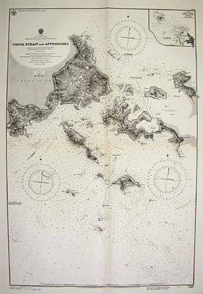
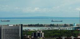
China Strait. en World War II US Navy map of the China Strait Papua New Guinea mapsandprints cfm type maps autokey Art Source International Hydrographic Office Navy Site says that the map was created by the US Navy making it public domain PDUSGovMilitaryNavy Maps of Papua New Guinea