
Related Images


Download:
| Tiny | 135x128 | View | Download |
| Small | 270x256 | View | Download |
| Medium | 540x512 | View | Download |
| Large | 1080x1024 | View | Download |
| Original | 3841x3641 | View | Download |
This image was acquired from
wikimedia. It was marked as Public Domain or CC0 and is free to use. To verify, go to the source and check the information there.
Looking for more info about this image?
Try a Google Reverse Image Search for it.
Try a Google Reverse Image Search for it.
Keywords from Image Description:
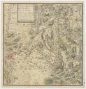
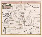
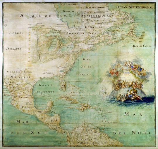
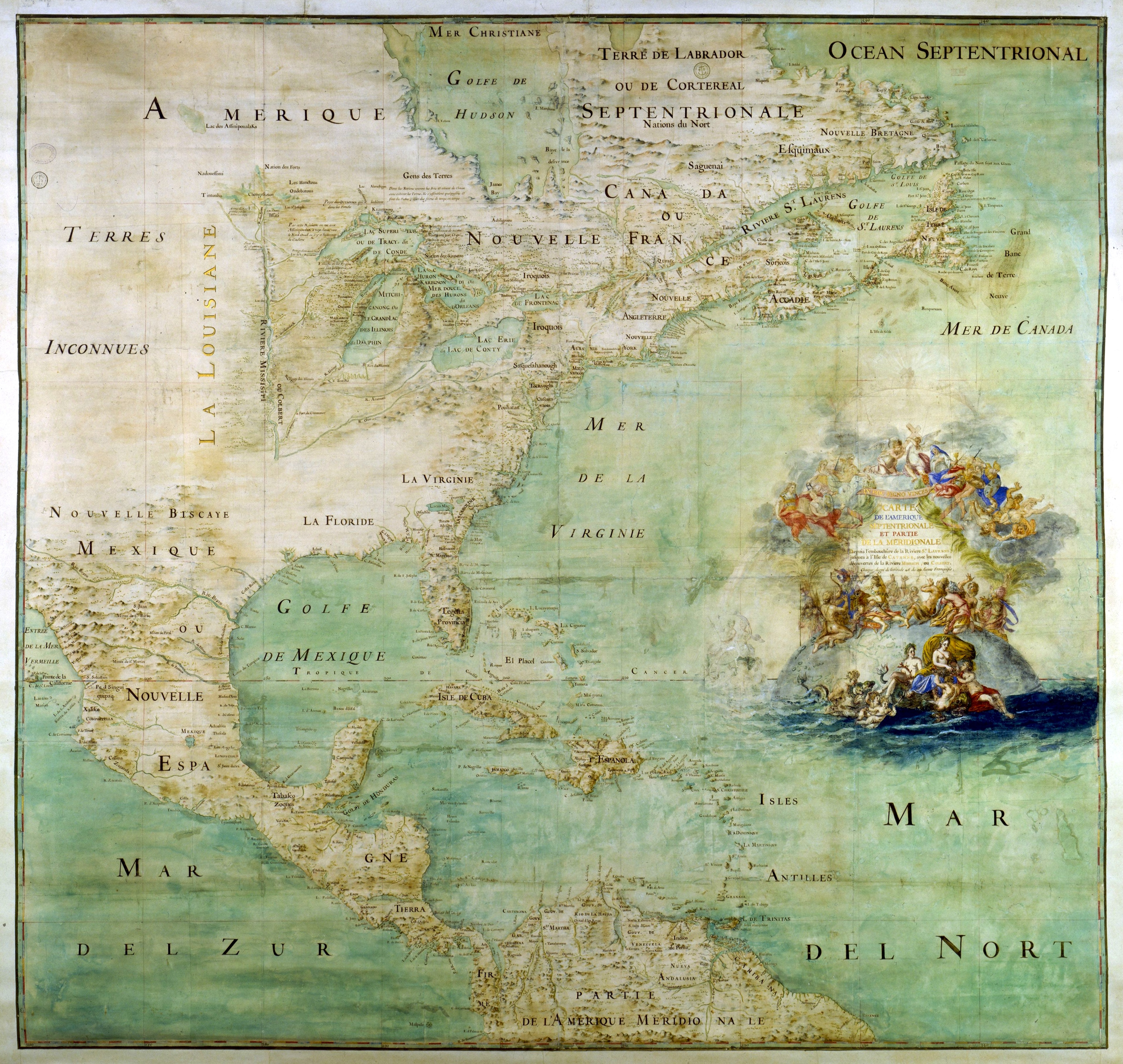
Claude Bernou Carte de lAmerique septentrionale. en Map of the northern part and parts of the southern parts of the America from the mouth of the Saint Laurent River to the Island of Cayenne with the new discoveries of the Mississipi or Colbert River This map shows the results of the expeditions of Father Marquette and Jolliet and