Download:
| Tiny | 227x128 | View | Download |
| Small | 455x256 | View | Download |
| Medium | 910x512 | View | Download |
| Large | 1820x1024 | View | Download |
| Original png | 3840x2160 | View | Download |
| Original as jpg | 3840x2160 | View | Download |
This image was acquired from
wikimedia. It was marked as Public Domain or CC0 and is free to use. To verify, go to the source and check the information there.
Looking for more info about this image?
Try a Google Reverse Image Search for it.
Try a Google Reverse Image Search for it.
Keywords from Image Description:
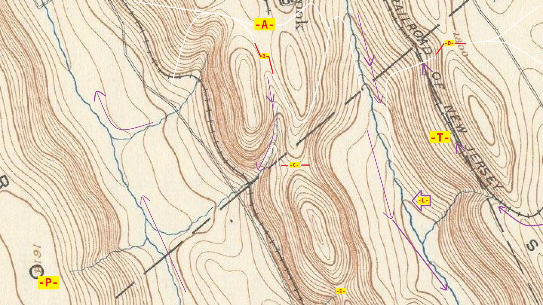
Cliffs Saddles Traverses Passes Ascents Peaks from Sources of Nesquehoning creek from hzltswRotcw LargerType. USGS cropped and processed topographical map selected to demonstrate landform definitions in an actual terrain setting Several types of curves have been added to aid educational understanding This map is rotated extract
