Related Images


Download:
| Tiny | 167x128 | View | Download |
| Small | 334x256 | View | Download |
| Medium | 669x512 | View | Download |
| Large | 1339x1024 | View | Download |
| Original tiff | 13320x10180 | View | Download |
| Original as jpg | 13320x10180 | View | Download |
This image was acquired from
wikimedia. It was marked as Public Domain or CC0 and is free to use. To verify, go to the source and check the information there.
Looking for more info about this image?
Try a Google Reverse Image Search for it.
Try a Google Reverse Image Search for it.
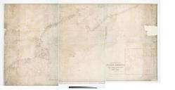
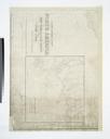
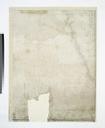
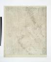
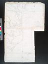
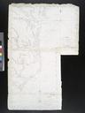
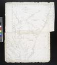
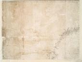
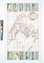
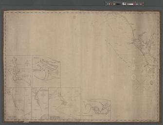
Keywords from Image Description:
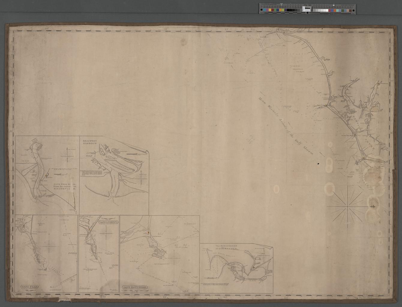
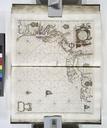
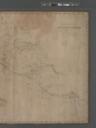
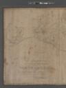
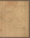
Coast chart from Cape Hatteras to Cape Fear North Carolina NYPL b. en Relief shown by hachures and pictorially Depths shown by soundings shading and form lines Oriented with north to right Predominantly uncol chart with lighthouses highlighted in yellow Scale ca Insets Cape Fear River from its entrance to Smithville Scale ca Beaufort