Related Images

Download:
| Tiny | 176x128 | View | Download |
| Small | 353x256 | View | Download |
| Medium | 707x512 | View | Download |
| Large | 1415x1024 | View | Download |
| Original | 2000x1447 | View | Download |
This image was acquired from
wikimedia. It was marked as Public Domain or CC0 and is free to use. To verify, go to the source and check the information there.
Looking for more info about this image?
Try a Google Reverse Image Search for it.
Try a Google Reverse Image Search for it.
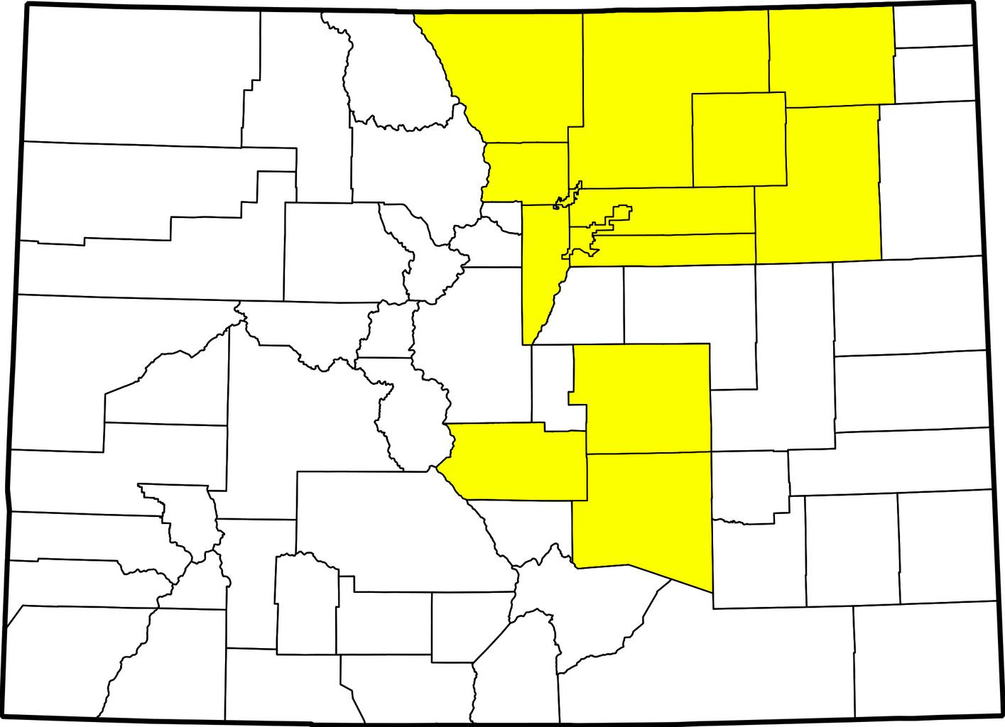
Keywords from Image Description:
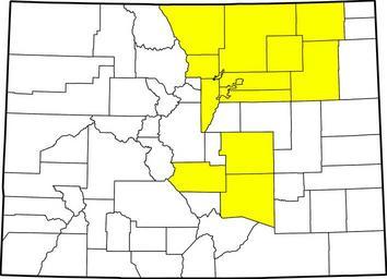
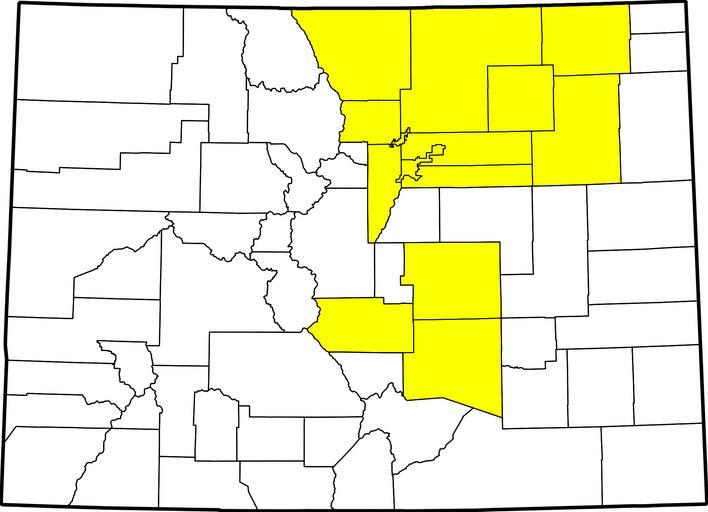
Colorado county map highlighting counties affected by flooding. map County map of Colorado highlighting counties declared disaster emergencies on September by governor in Colorado flooding Adams Arapahoe Broomfield Boulder Denver El Paso Fremont Jefferson Larimer Logan Morgan Pueblo Washington and Weld Modification by uploader