Related Images


Download:
| Tiny | 44x128 | View | Download |
| Small | 89x256 | View | Download |
| Medium | 178x512 | View | Download |
| Large | 356x1024 | View | Download |
| Original | 582x1671 | View | Download |
This image was acquired from
wikimedia. It was marked as Public Domain or CC0 and is free to use. To verify, go to the source and check the information there.
Looking for more info about this image?
Try a Google Reverse Image Search for it.
Try a Google Reverse Image Search for it.
Keywords from Image Description:
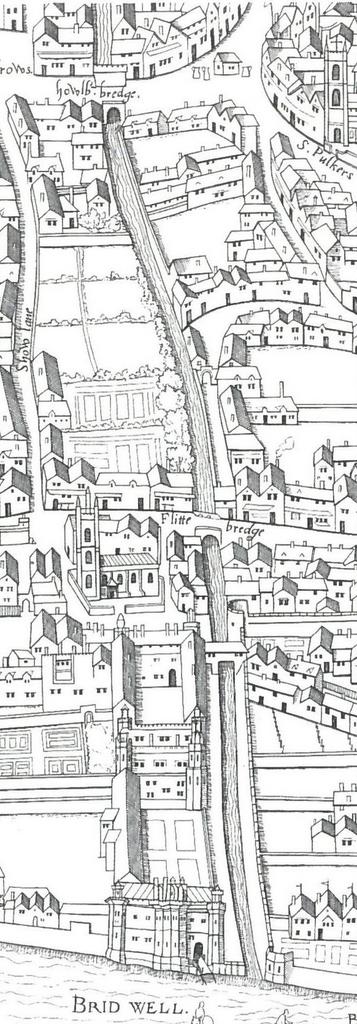
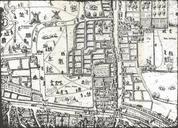
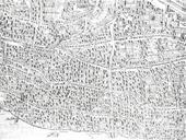
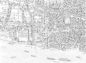
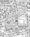
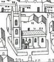
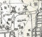
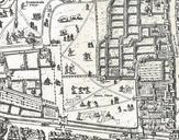
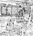
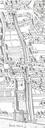
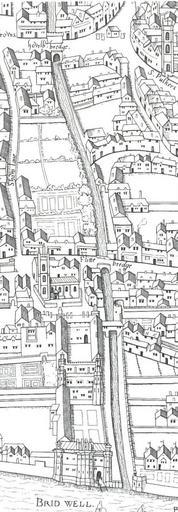
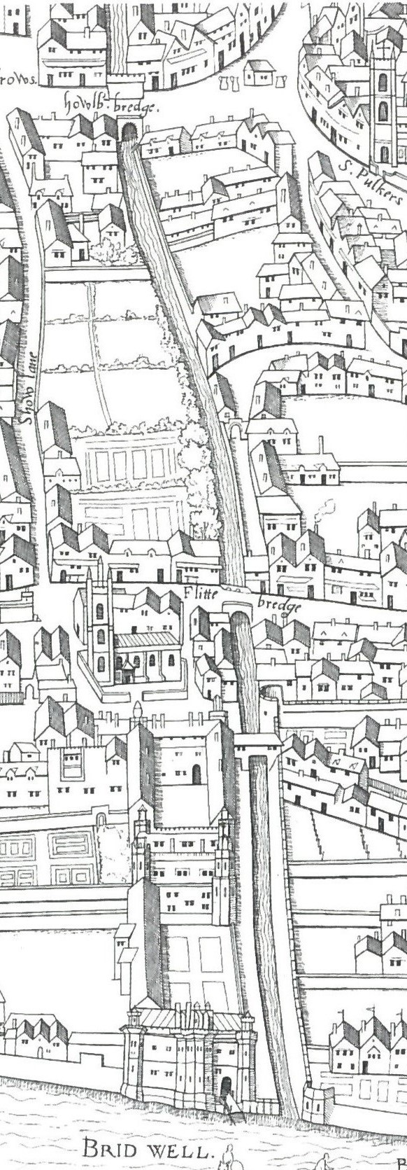
Copperplate map Fleet. en Detail from the Copperplate map of London surveyed showing the southern course of the River Fleet from Holborn Bridge to the Thames Ann Saunders and John Schofield eds Tudor London map and view author other versions PDold Uploaded with Copperplate map of London Old maps of London London in the th century